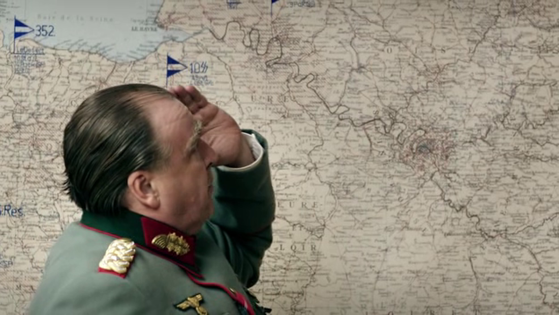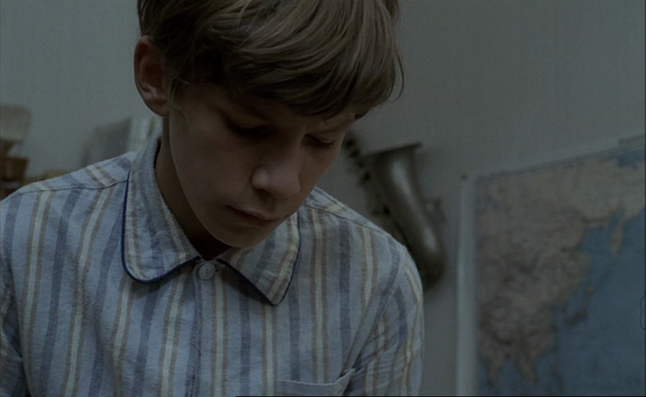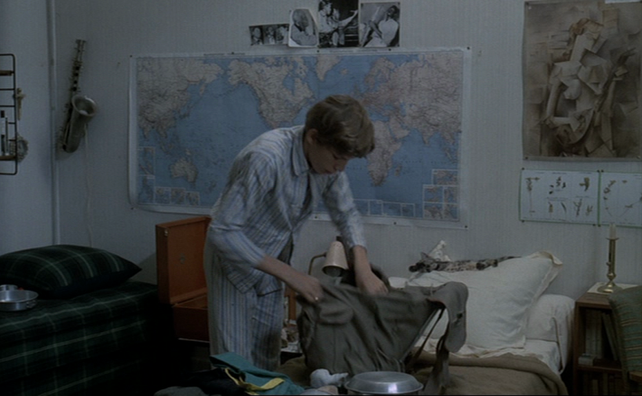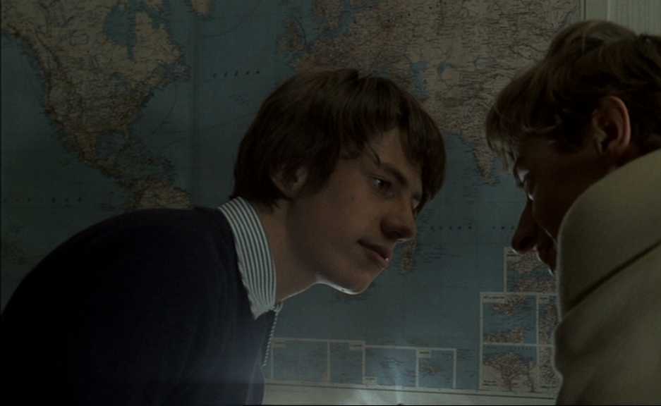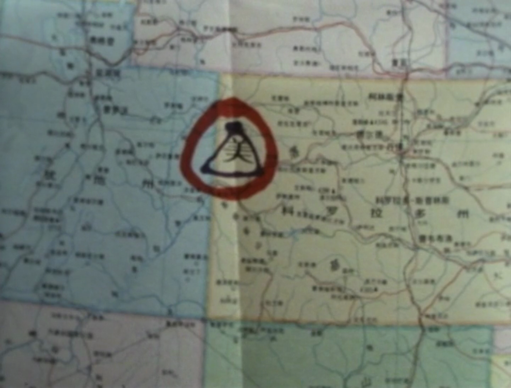


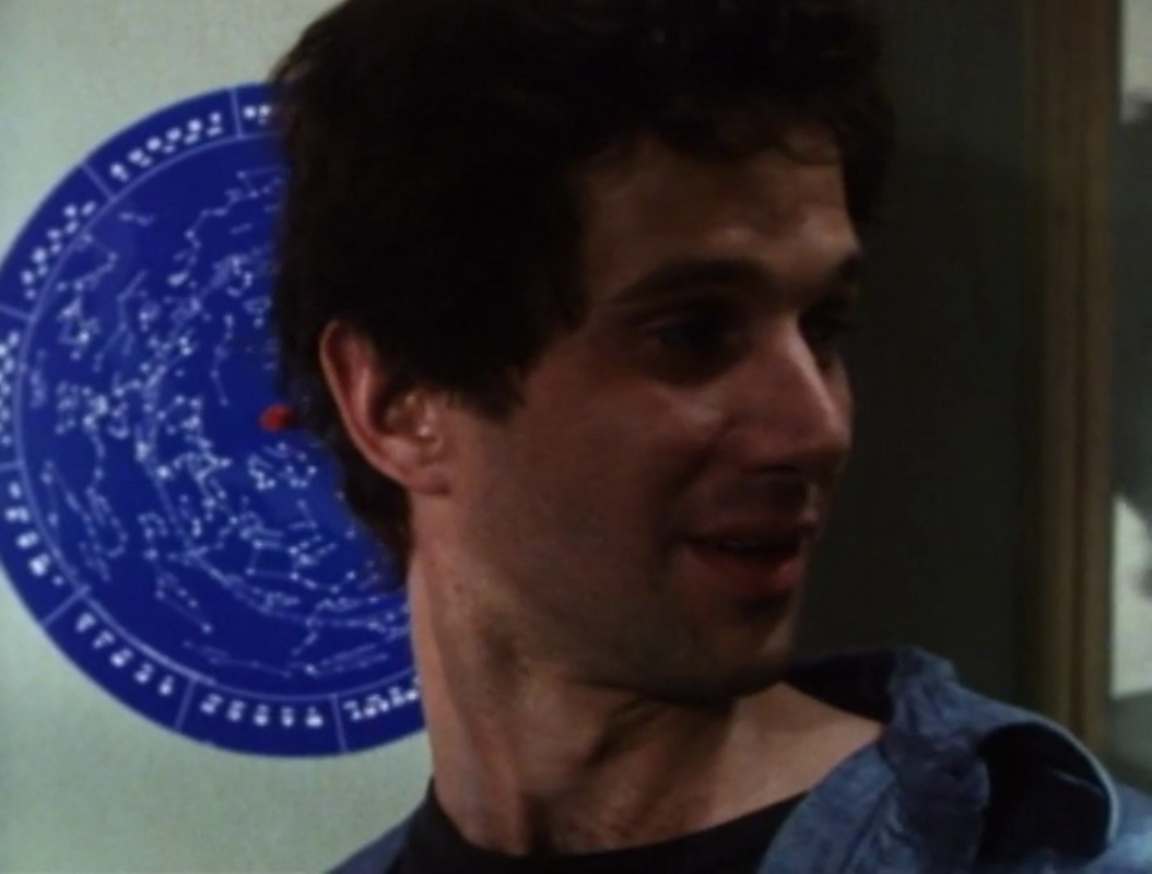
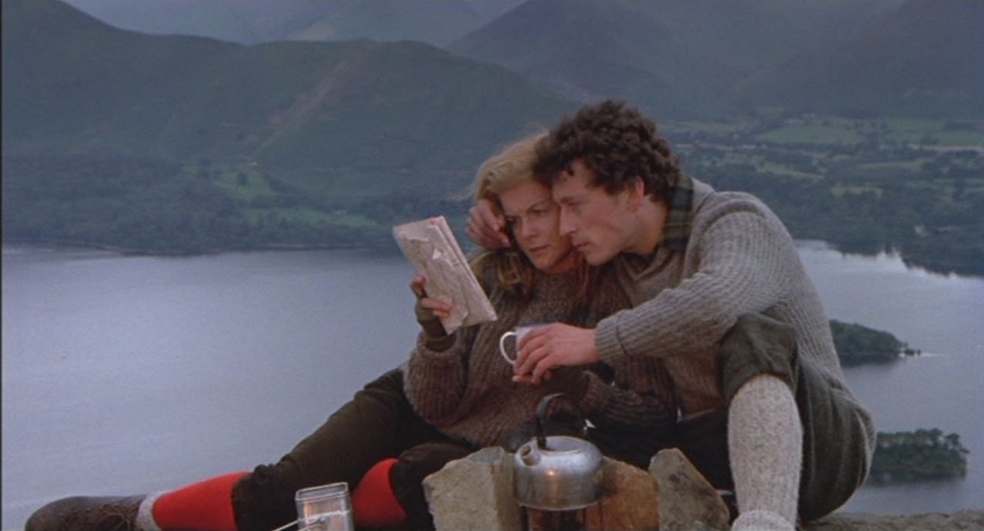
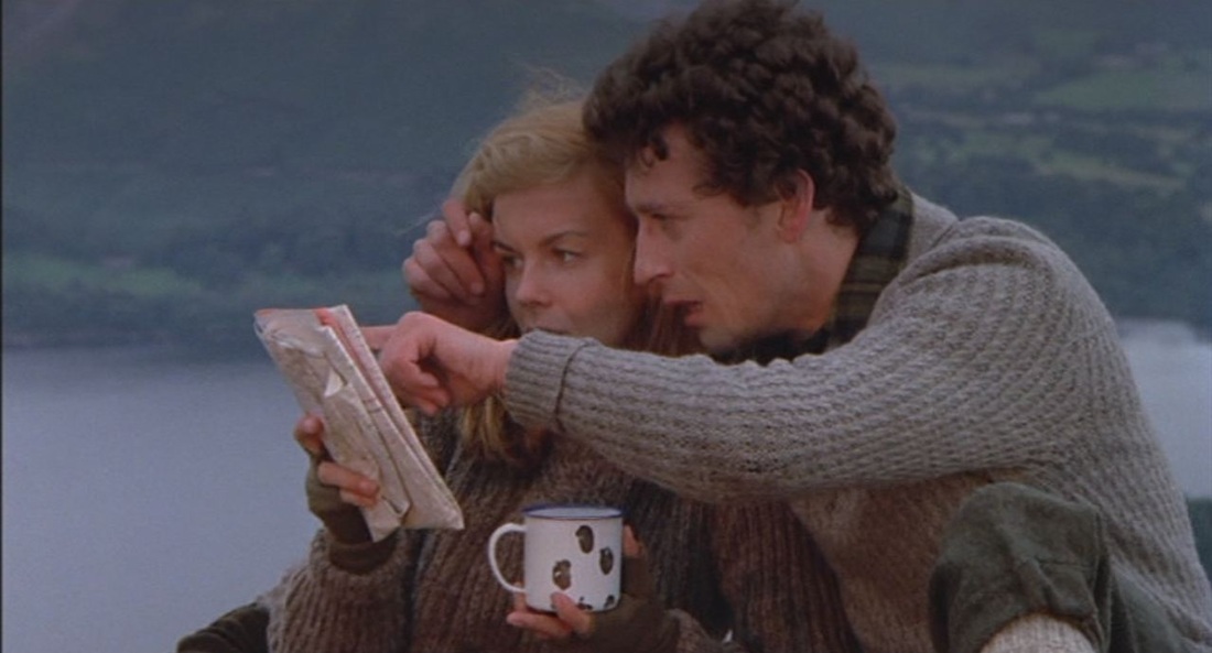
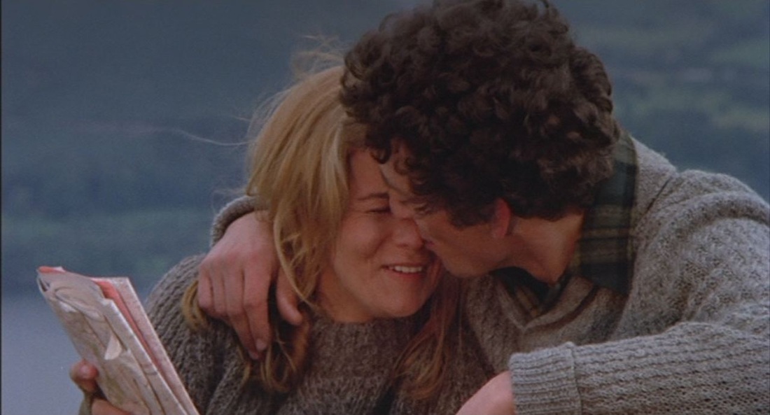
   There are two map moments, an idyllic prologue with Tommy's parents as figures in a landscape, with a map that presumably situates that landscape, then, towards the climactic end, Tommy's stepfather with a map signifying world domination. 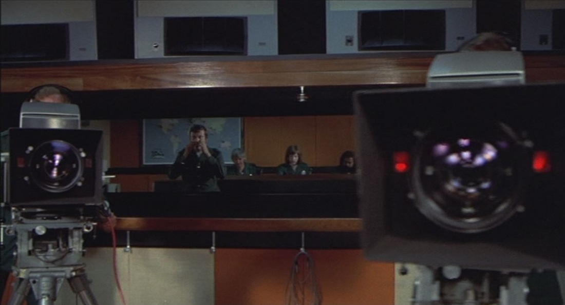 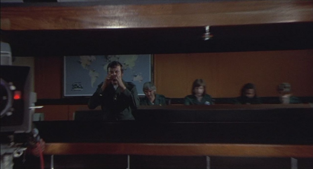 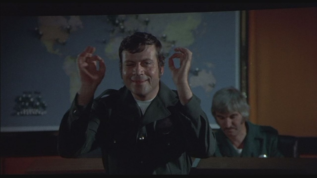 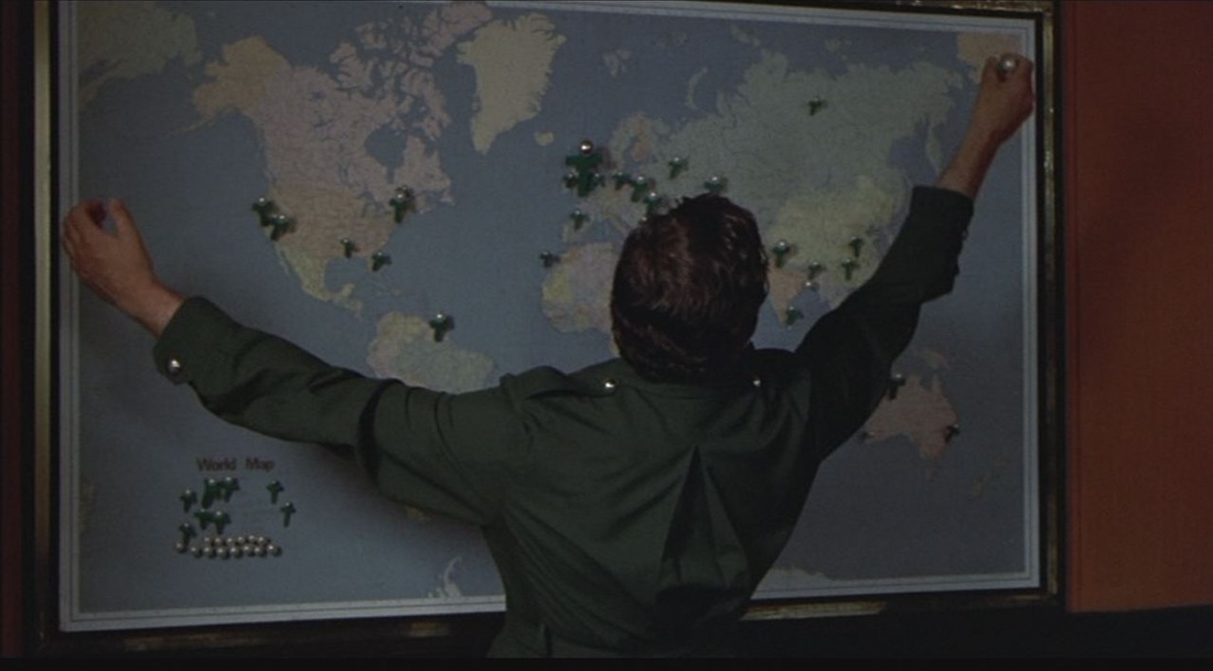 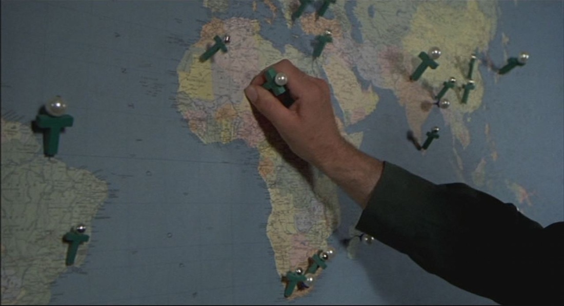 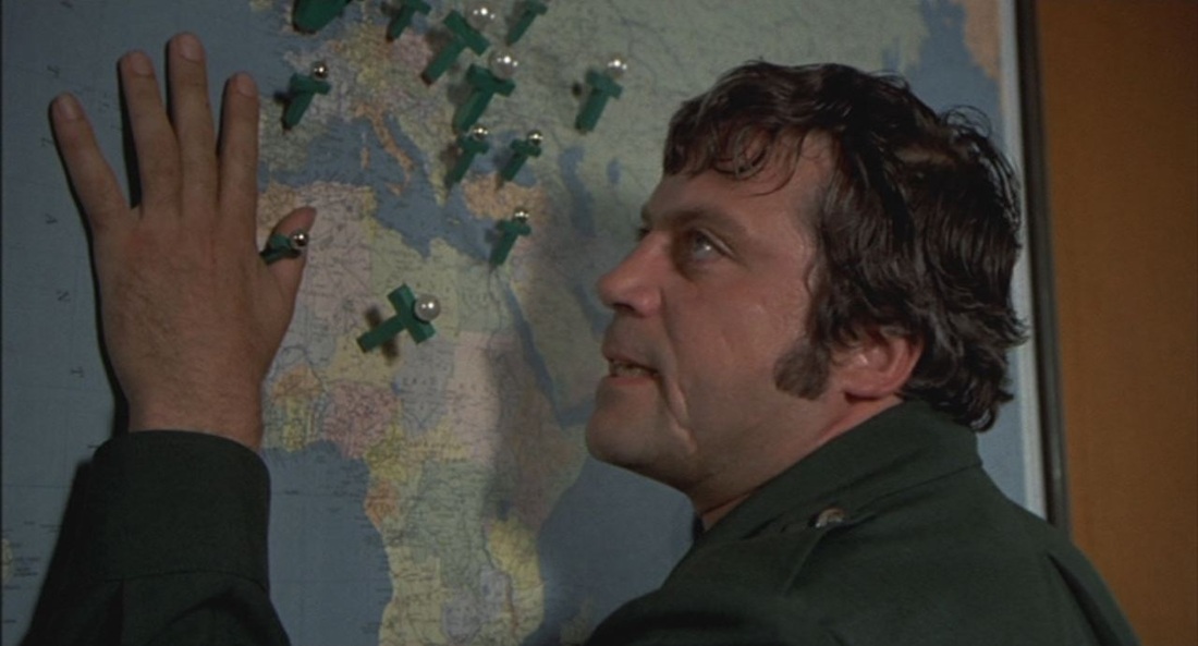 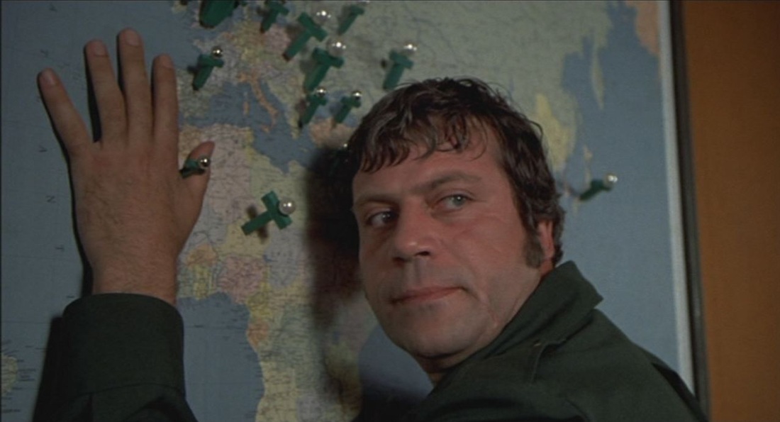 See here for Ken Russell links, 'in his magnificent memory', at Film Studies For Free.
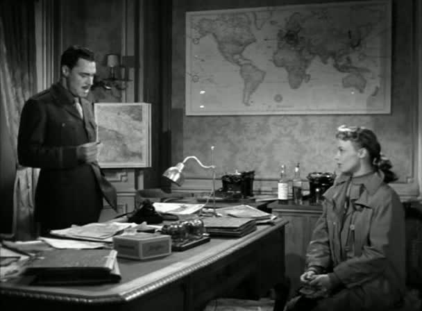 Another American production in Paris, but this time actually in Paris, with authenticity derived from real locations and a local supporting cast (including Brigitte Bardot). No maps of Paris to help us find our way around, but the 'worldliness' of the American officer to whom a French woman goes looking for work is suggested by the décor of his office (he will give her work in exchange for sex): 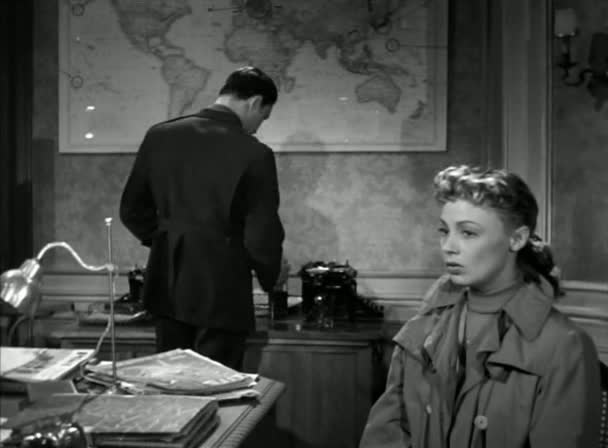 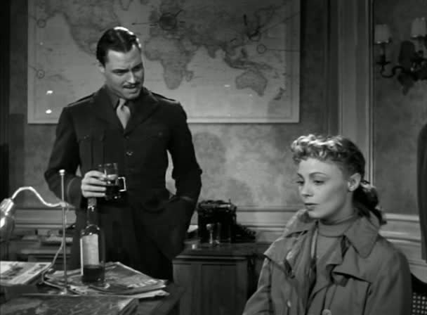 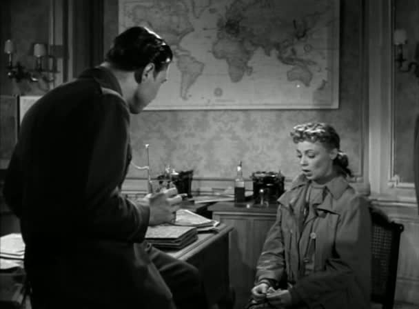 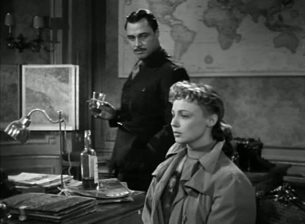 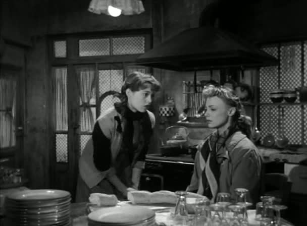 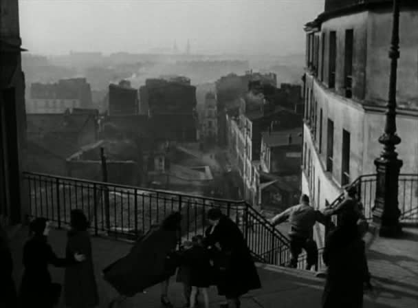 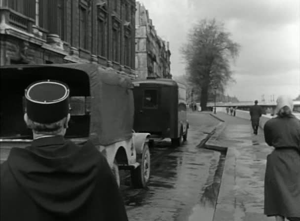 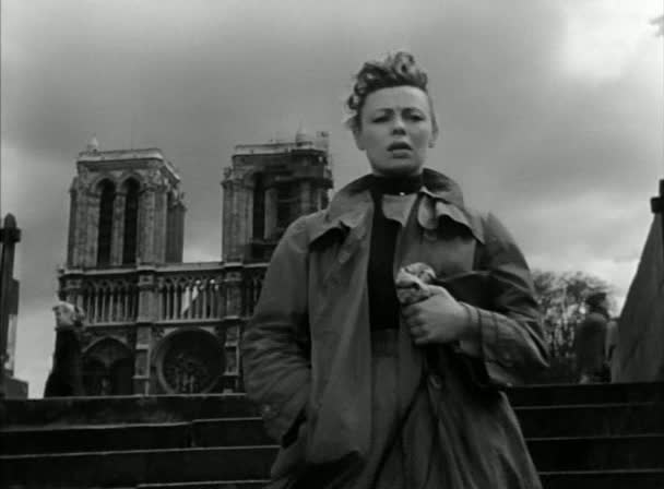 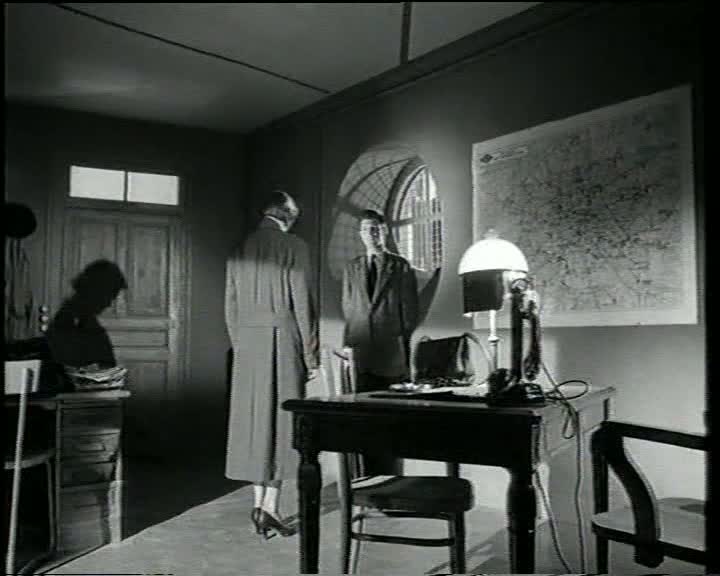 Astruc's film, a Balzacian precursor to Rivette's Paris nous appartient (see here), shows the conquest of Paris by a young woman from the provinces; soon after arrival she says that Paris 'belongs to us now'. The one map of Paris in the film is at at police headquarters, where she is being interrogated regarding an illegal abortion.The film presents the story through a series of flashbacks, returning periodically to the quai des Orfèvres and its cartographic backdrop. 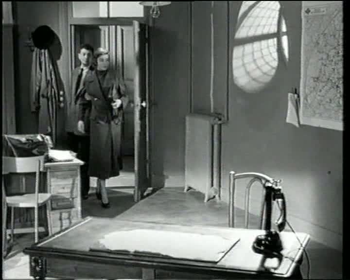 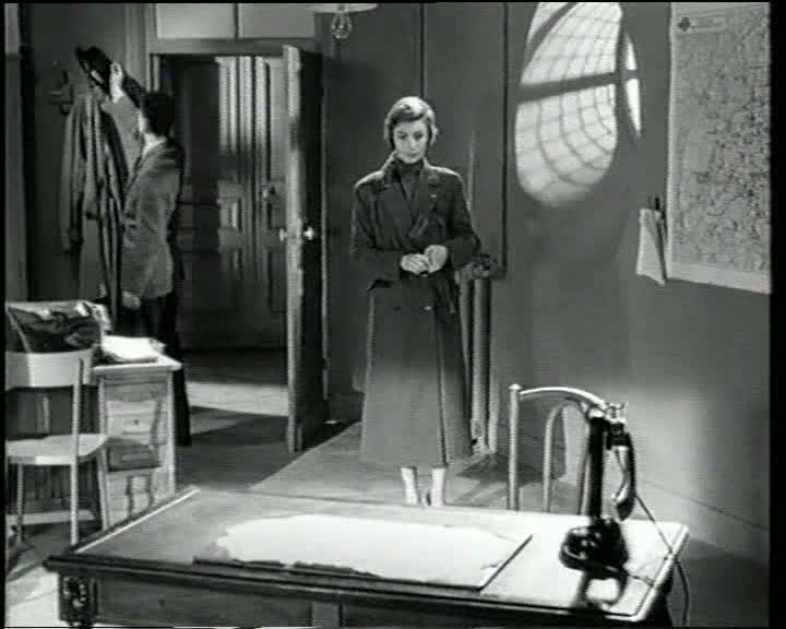 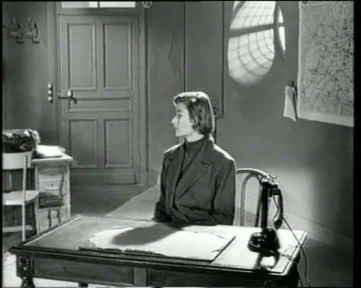 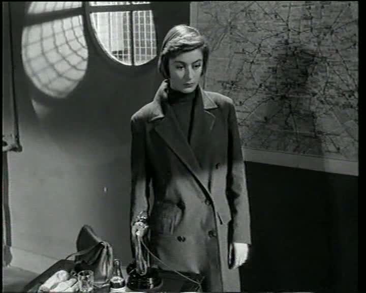 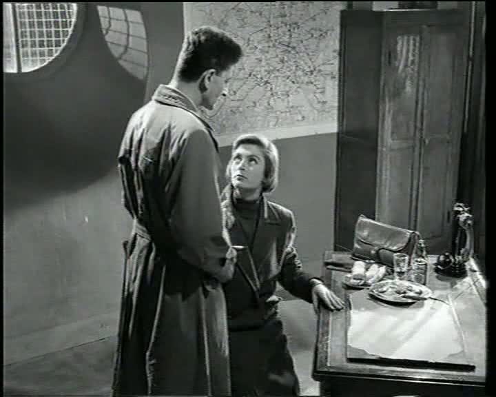 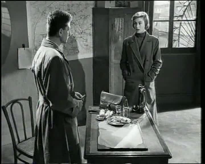 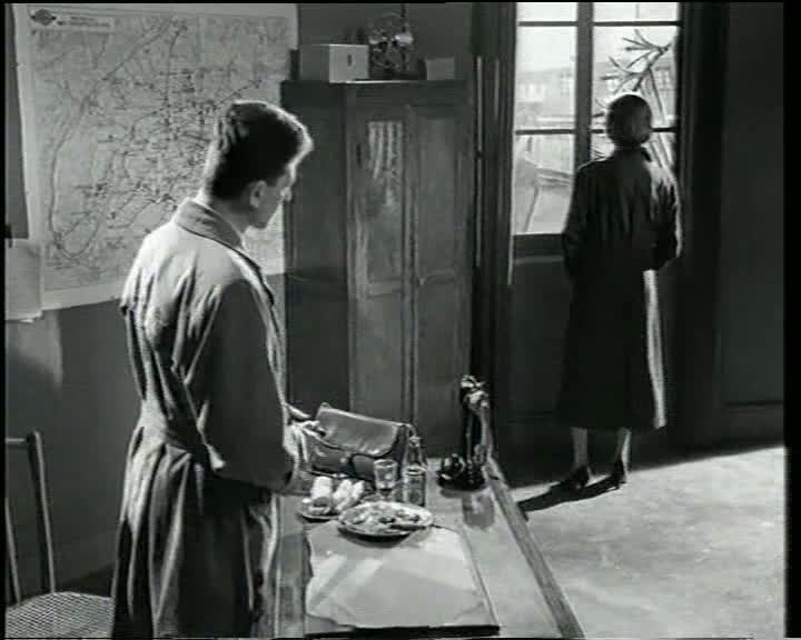 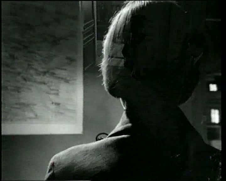    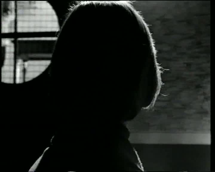 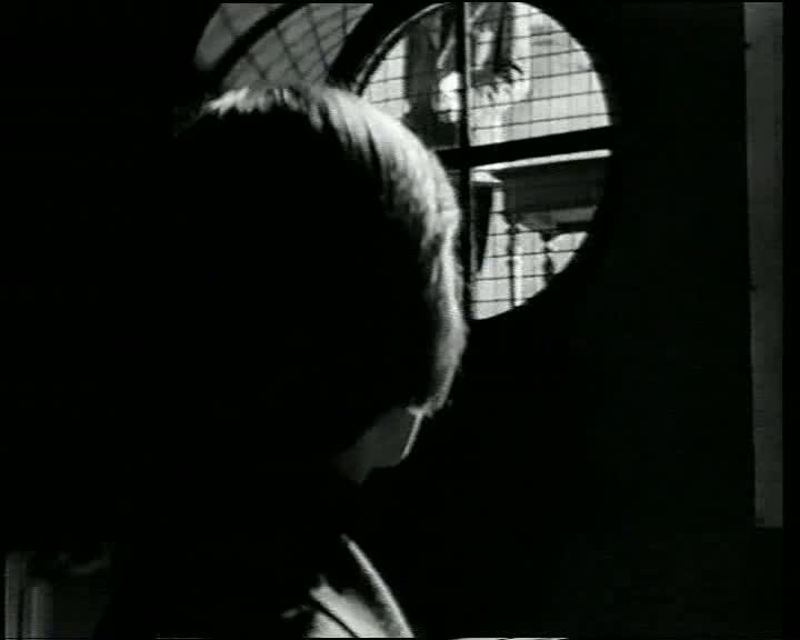 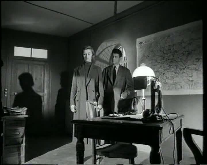 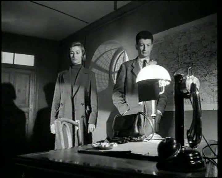 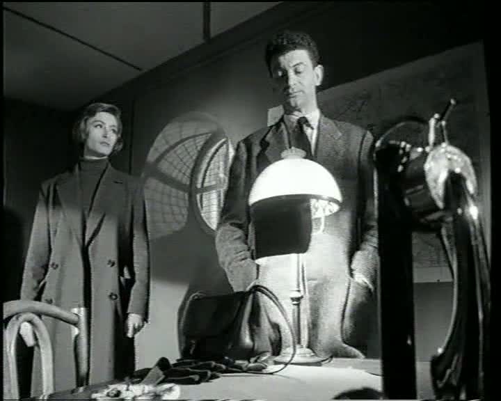 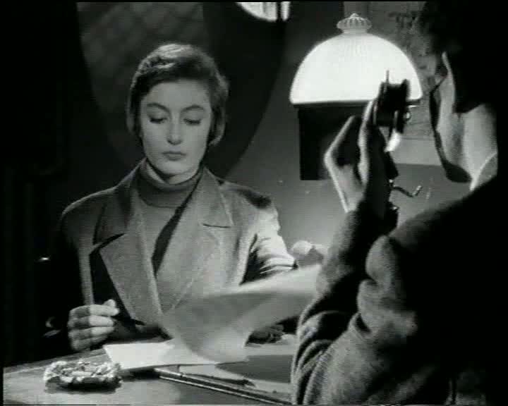 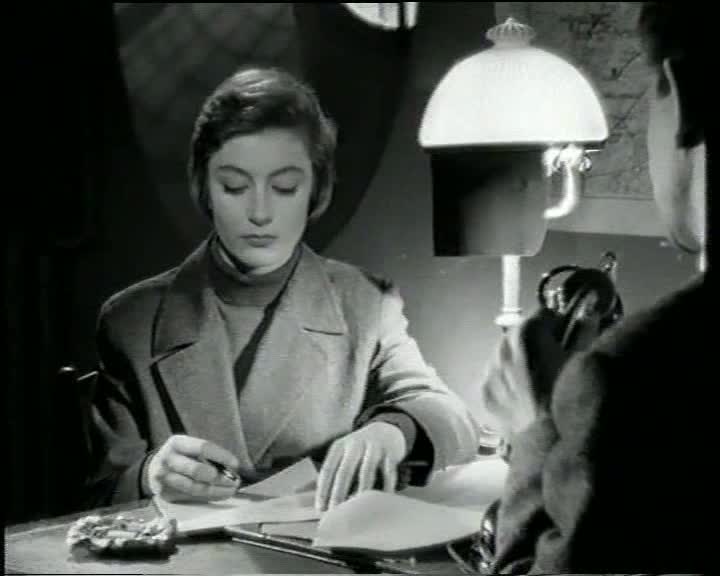 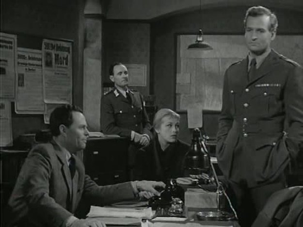 As in The Third Man, maps are a part of the establishing décor in the offices of those who police the divided city, but the lines marking the divisions are not foregrounded emblematically. 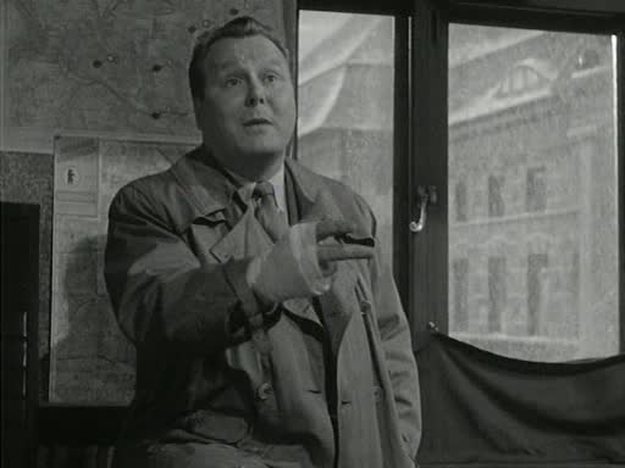 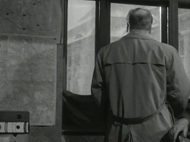   A map is also a part of the décor in the room occupied by criminals, marked with pins to signal some similitude with the plotting done by their legitimate counterparts: 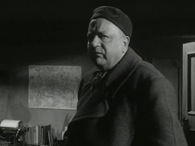 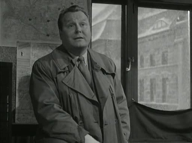 At least these do appear actually to be maps of Berlin, unlike the police inspector's map in Lang's The 1000 Eyes of Dr Mabuse (see here), about which the consensus is that it is not, as it ought to be, a map of Berlin.
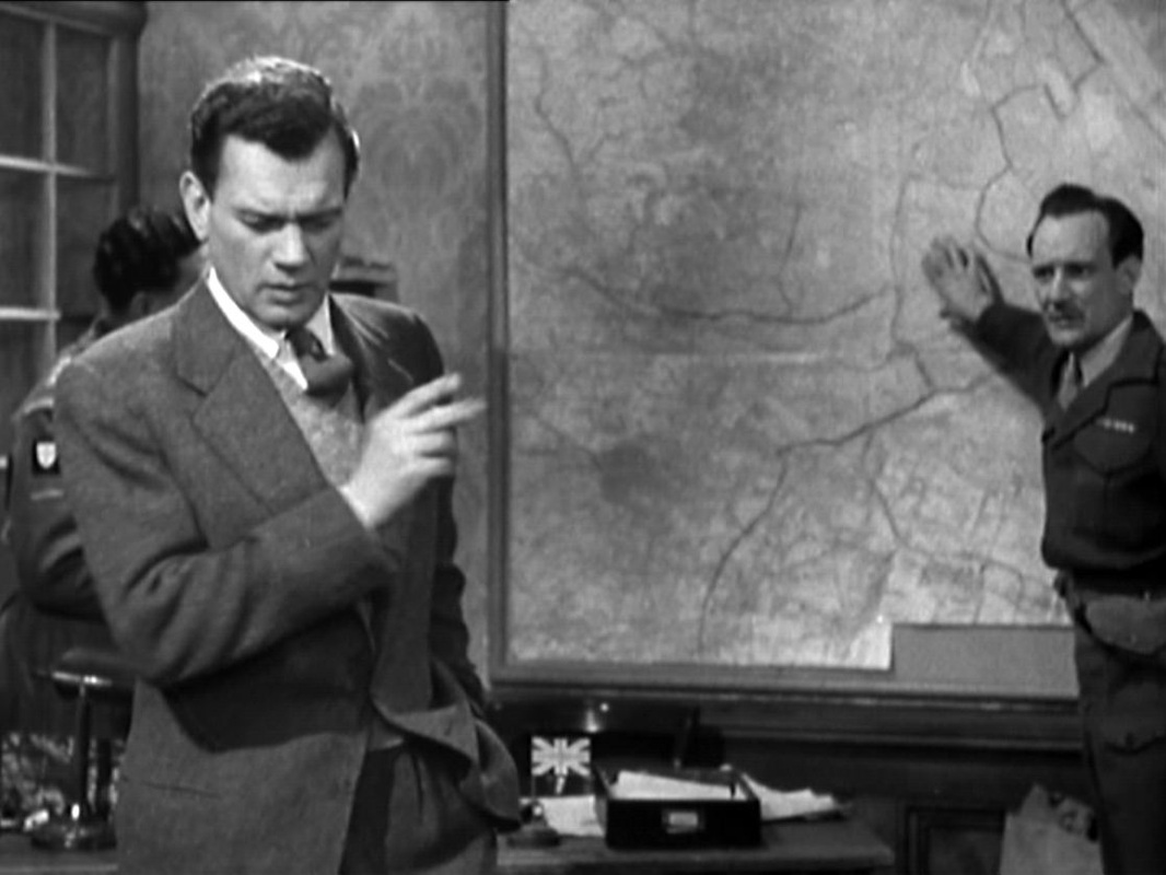
The film doesn't tend to use maps to speak of the city's division into zones, though here Major Calloway is pointing to the International Zone as a possible meeting place with Harry Lime. The broad lines marking out the divisions of the city on this map are a recurrent backdrop to encounters in this room, even when the lighting shifts into noir mode: 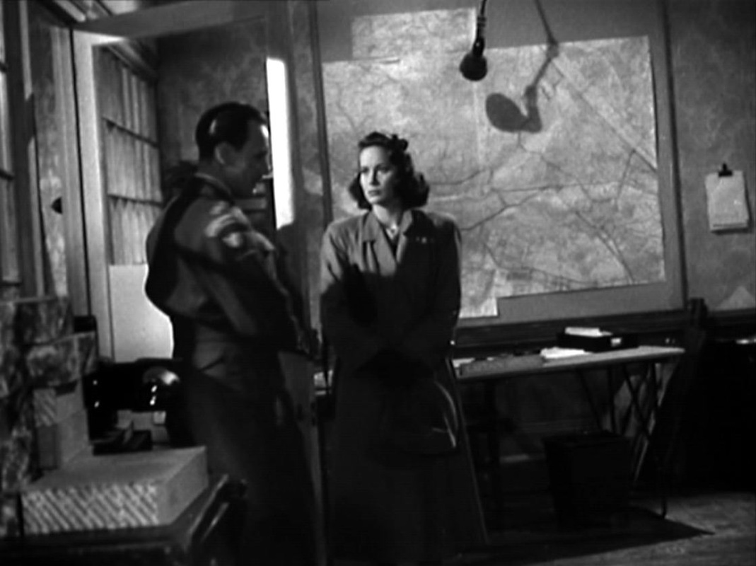
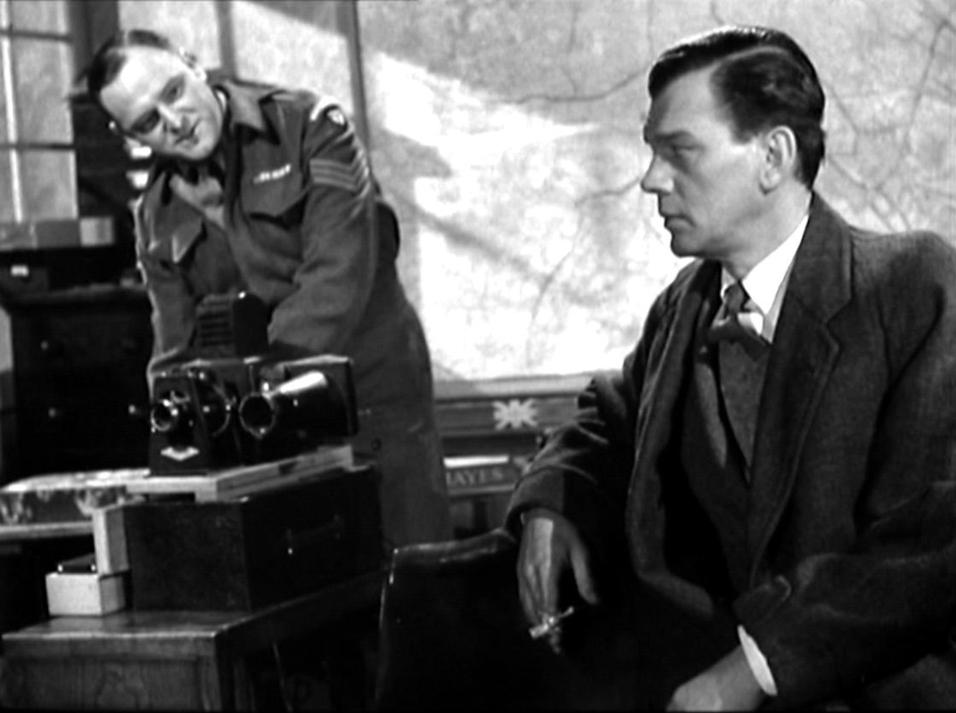
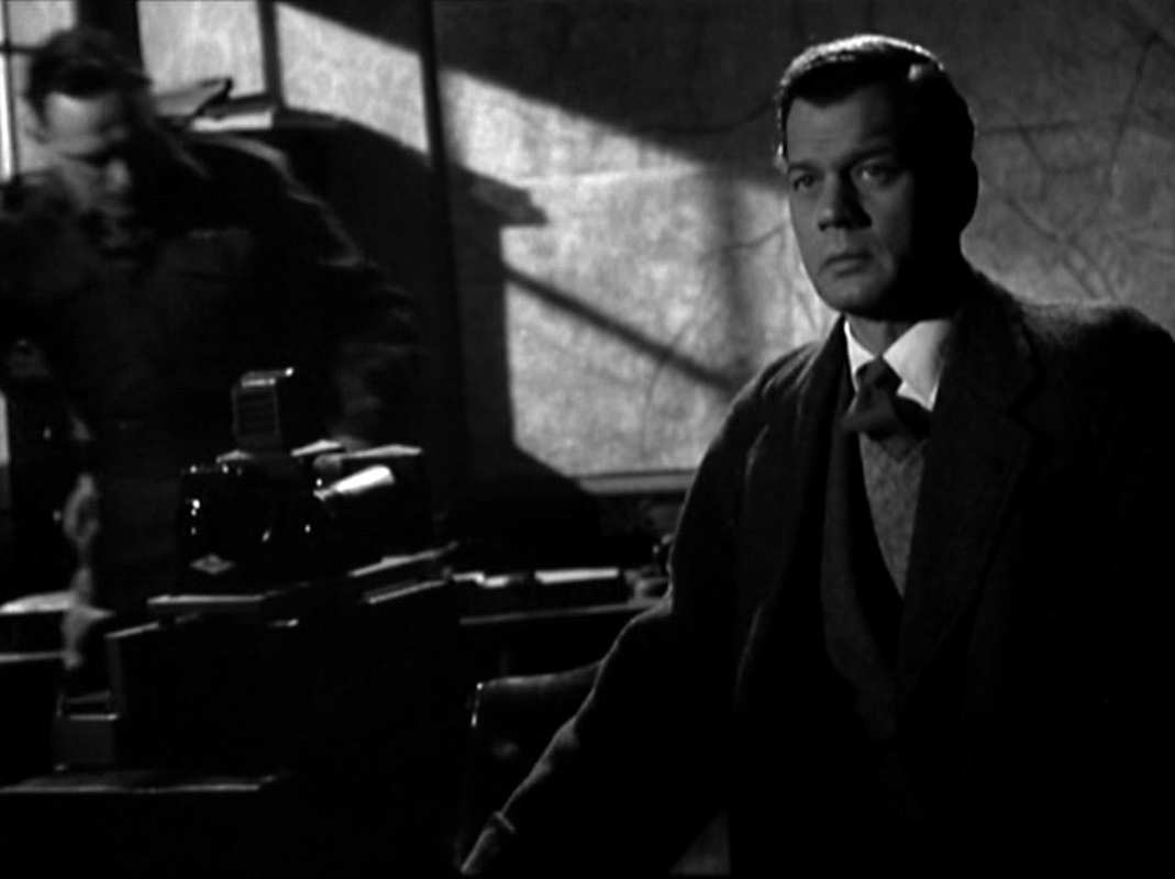
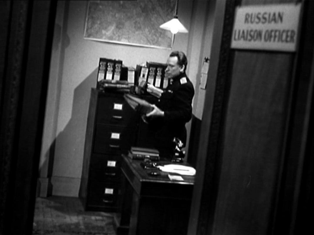
There are other maps in Major Calloway's office, and also in the Russian Liaison Officer's room across the corridor: 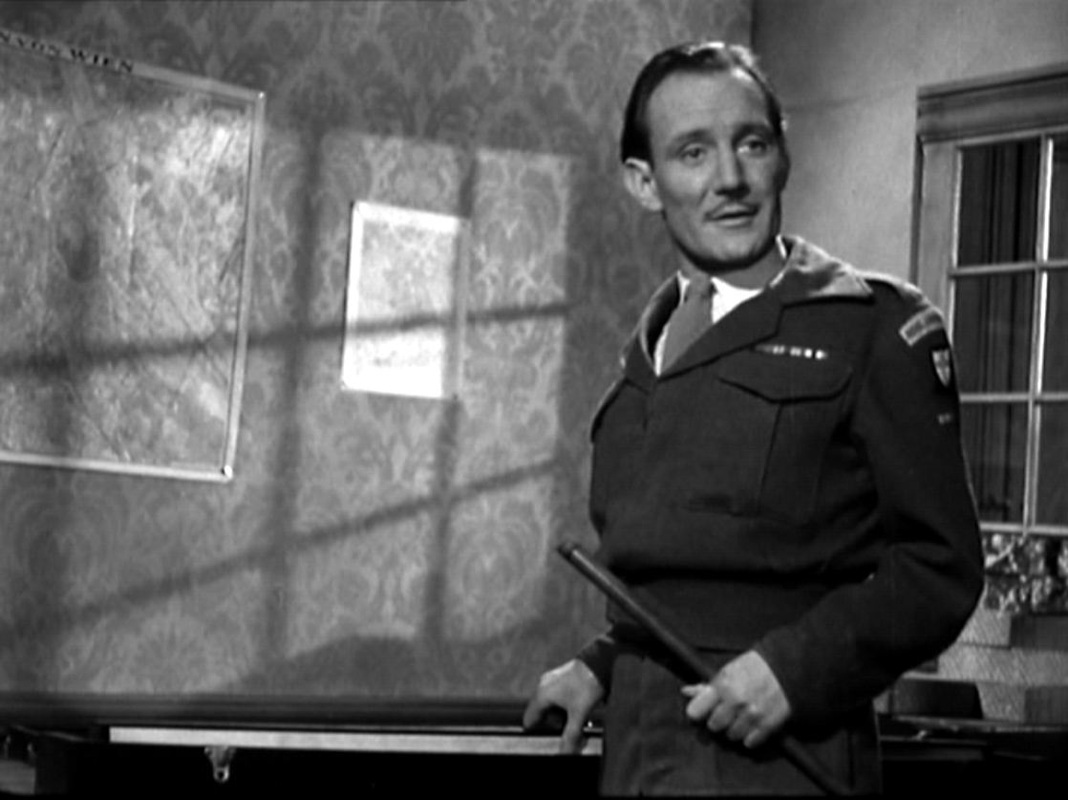
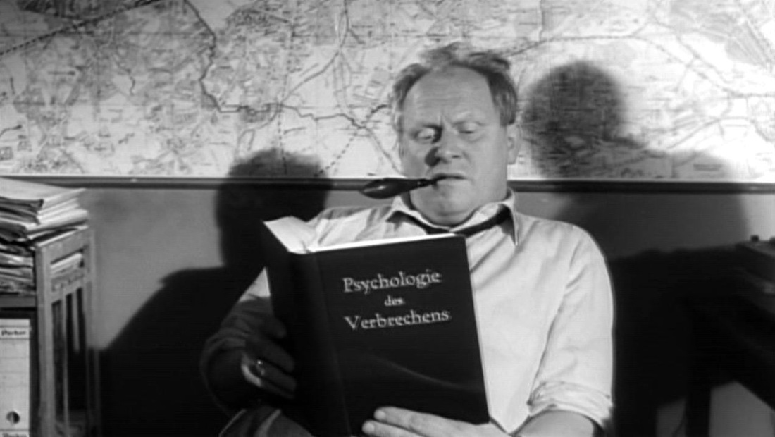 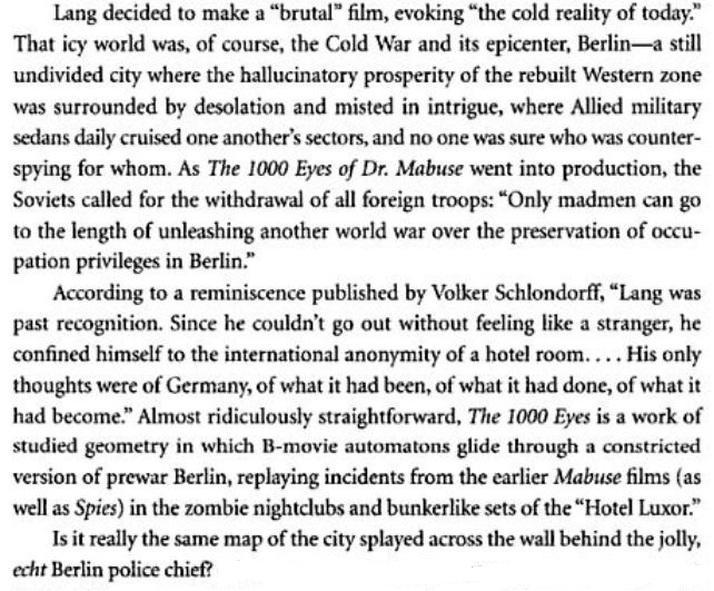 J. Hoberman, The Magic Hour: film at fin de siècle (Philadelphia: Temple University Press, 2003), p.11. Hoberman's question is the one I've been asking. Is that a map of Berlin behind the police chief? I can't seem to match it to any maps I can find of Berlin c.1960, or from an earlier date. Any suggestions appreciated (email here) 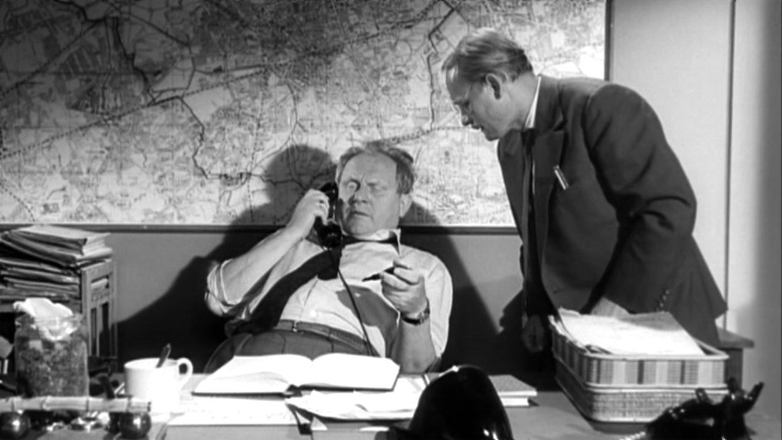 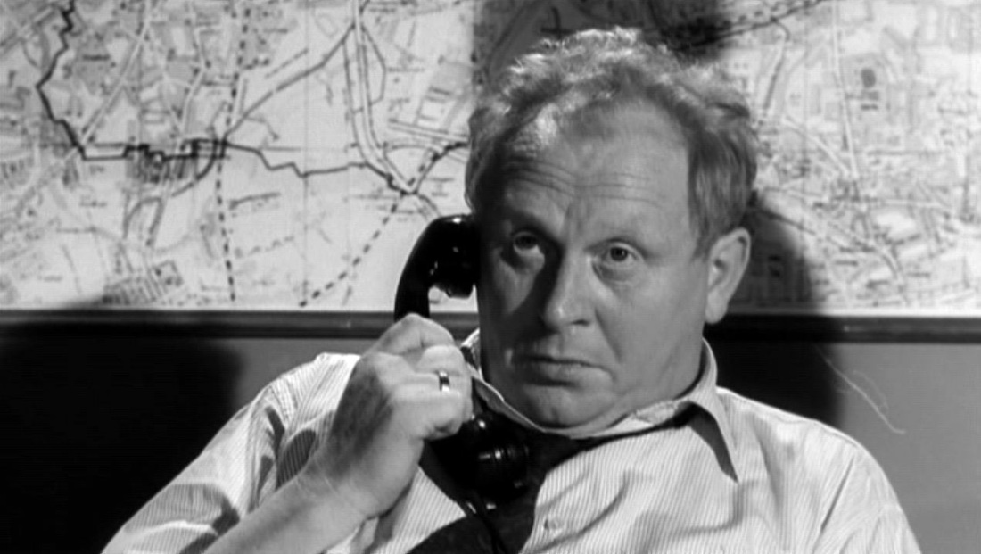 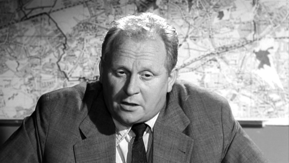 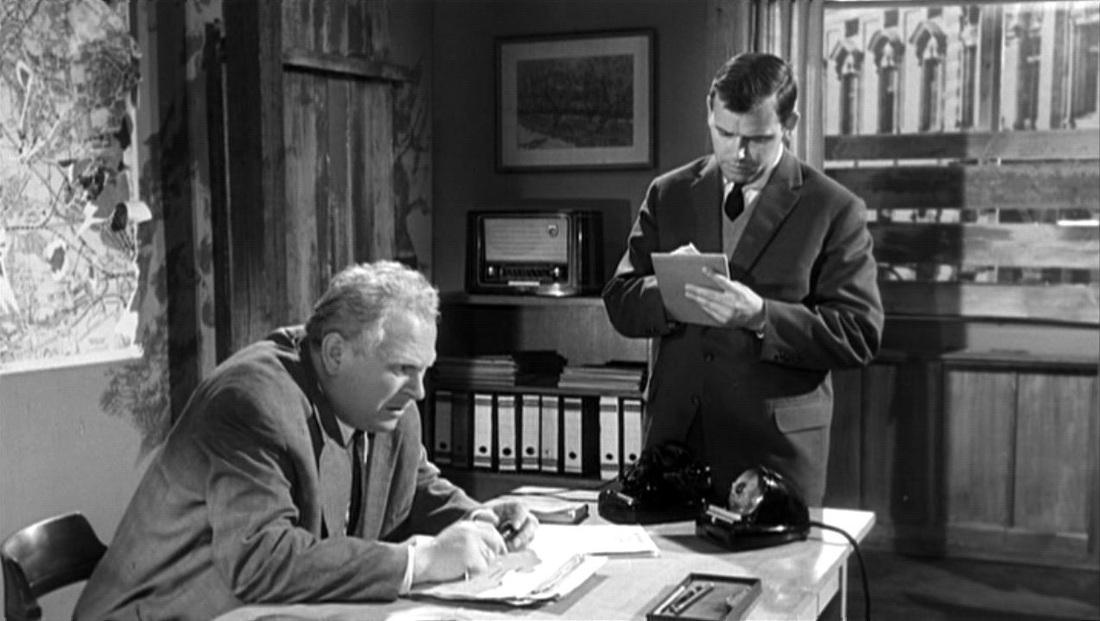 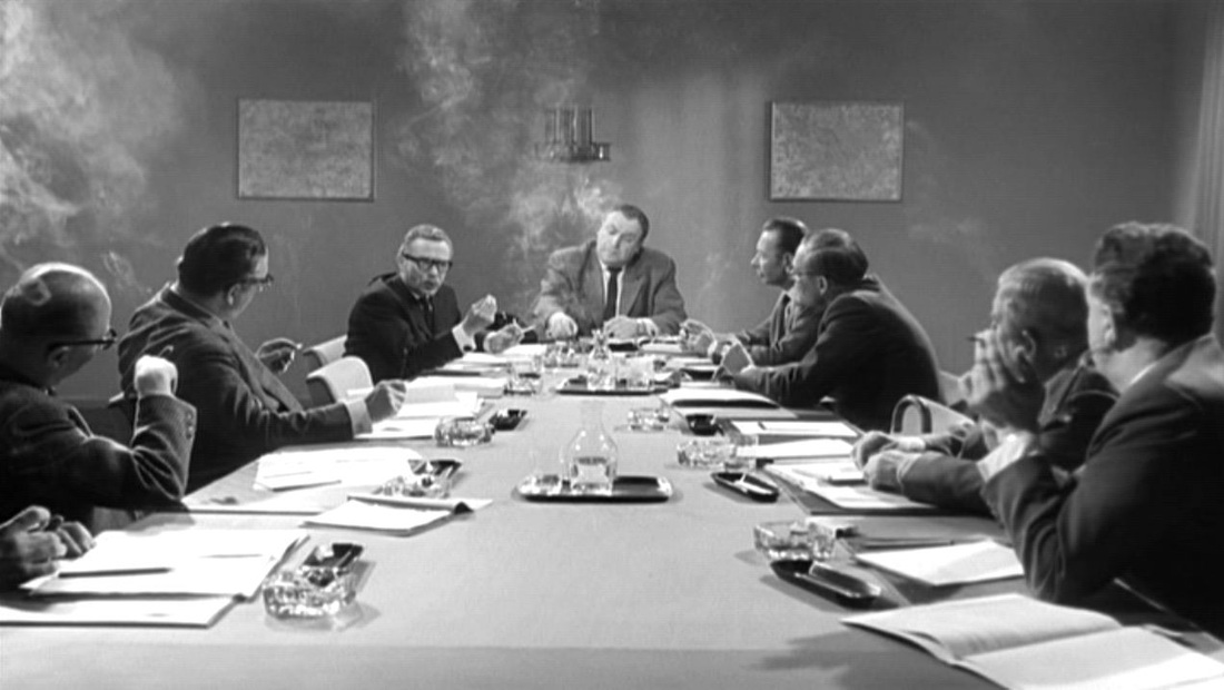 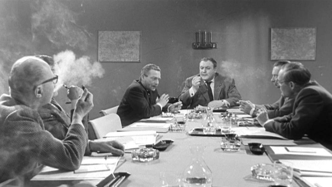 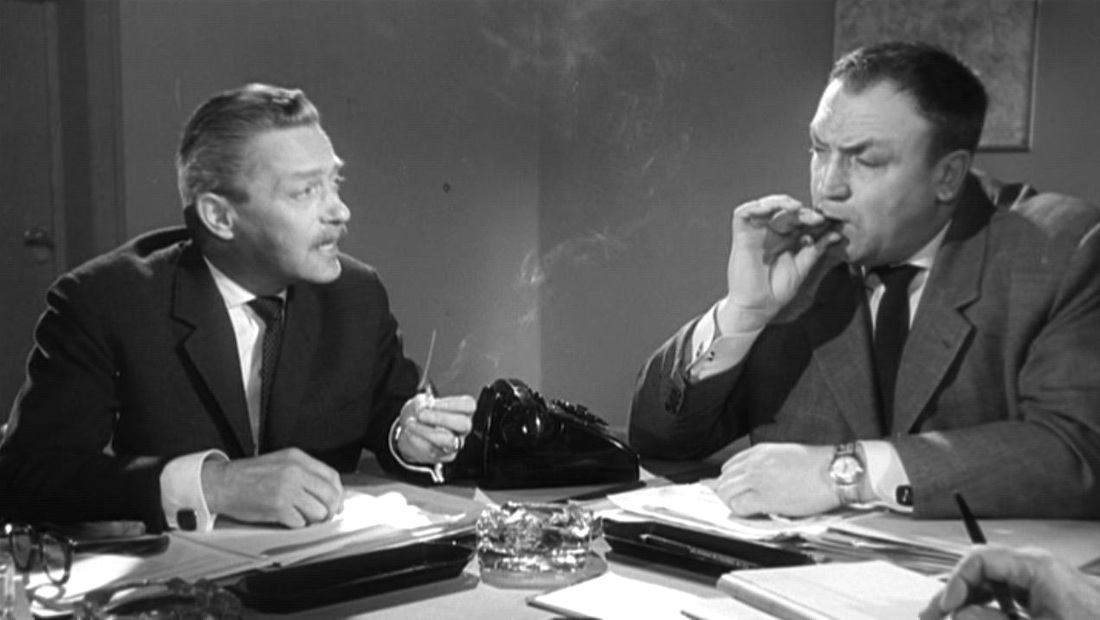 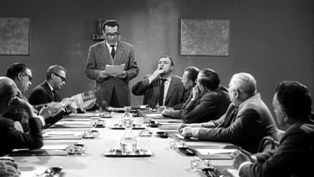 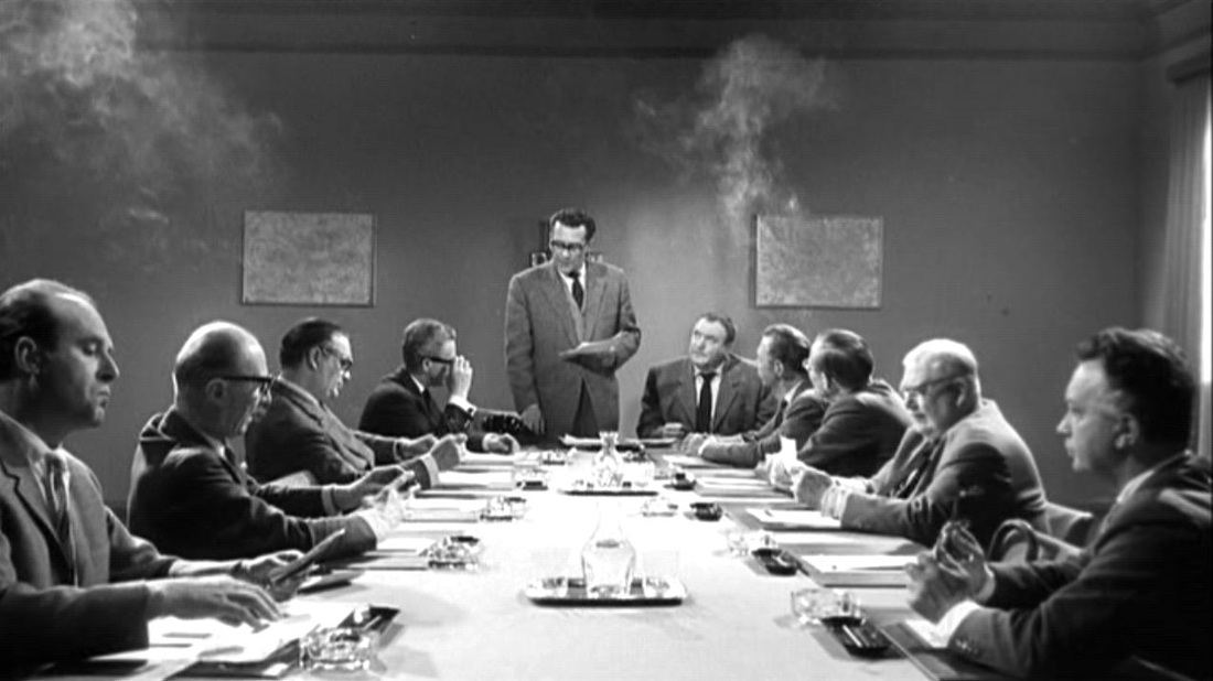  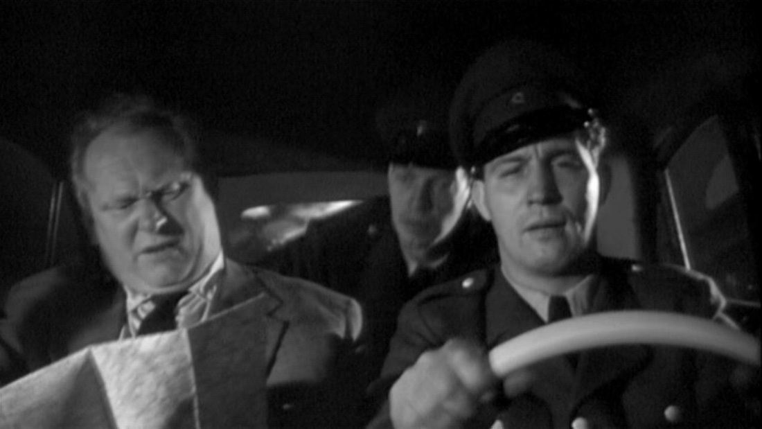  As large as as it looms behind the murderous protagonist, it is hard for us now to thematise this map of Africa. It seems incongruous in a film we remember for the beauty of Henri Decaë's cinematography, for the beauty of Miles Davis's score, and for the beauty of Jeanne Moreau. At the time of the film's release, the critic Raymond Borde would have had no difficulty glossing this image. Here is what he wrote of the protagonist in Les Temps modernes (April 1958): 'Julien Tavernier, a captain in the parachute regiment who has served in Indochina and Africa. He left the army to become the right hand man of an arms dealer. His faithful batman still calls him "my captain" with a tremble in his voice. The memory of glorious round ups, of Oradour, of massacres and rapes. […] A modern hard man, a thirty-five year old paratrooper, a neo-Nazi capitalist, those are the three reference points of Louis Malle’s inner dream. In every sense of the word, Ascenseur pour l’échafaud is a Fascist film.' 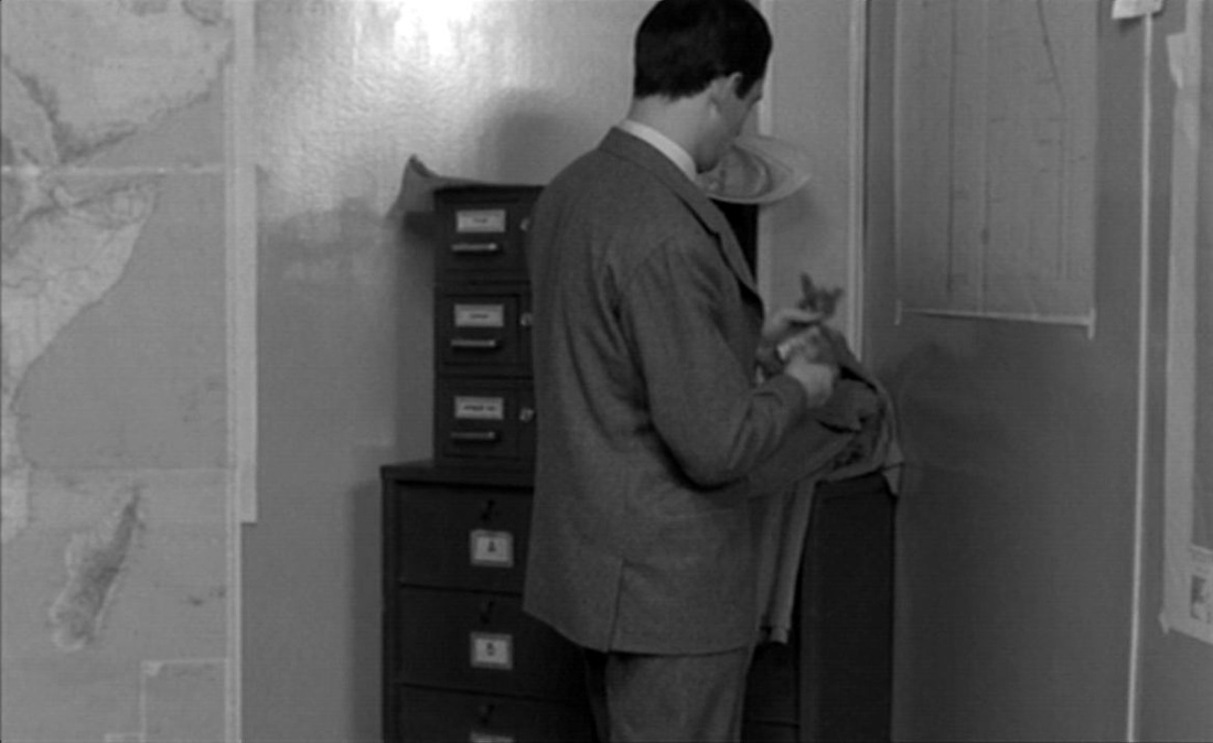 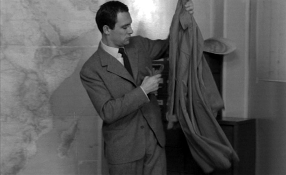 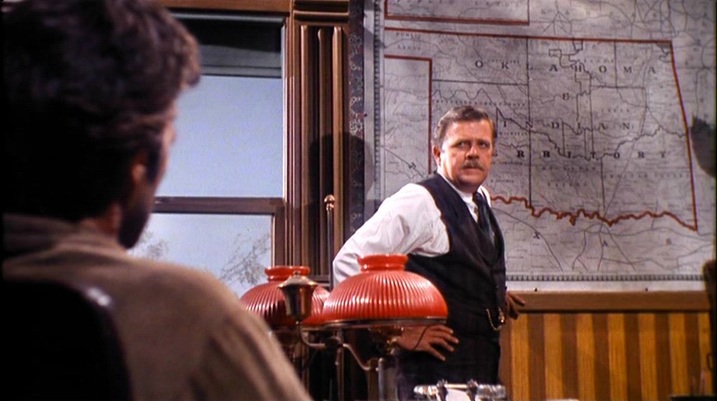 Judge Fenton: There you are. The Oklahoma and Indian Territory, year of our Lord 1889. Nineteen marshals. I was authorized sixty when I came here. I told the President even that wasn’t half enough. Nineteen marshals and one court, to cover near 70,000 square miles. A happy hunting ground filled with bushwhackers, horse thieves, whiskey peddlers, counterfeiters, hide peelers, marauders that’ll kill you for a hatband. Now, that’s why there’s a badge in my desk, Cooper. Itching to sit on somebody’s chest,and no takers. Cooper: Your marshals do cover a lot of territory. Judge Fenton: You’ll ride circuit over an area half again the size of Rhode Island. If and when it’s Marshal Cooper. (See here for a large collection of pre-1900 maps of Oklahoma and the Indian Territory, amongst which, regrettably, I have not found the map in this film.) 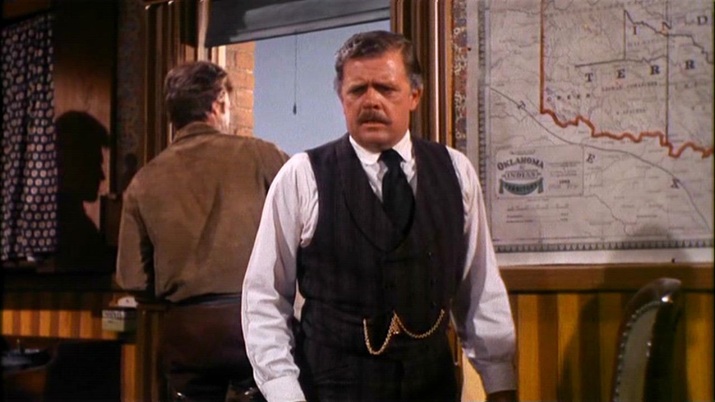 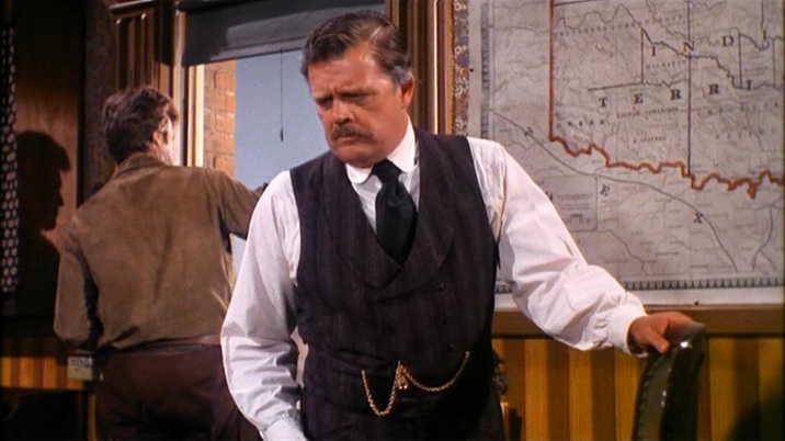 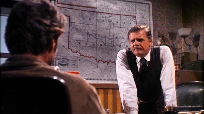 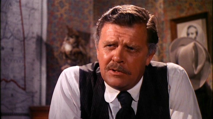 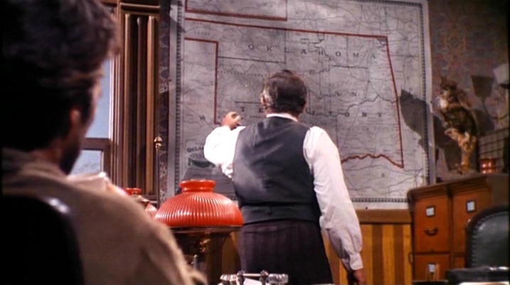 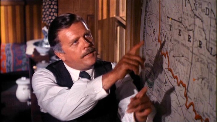 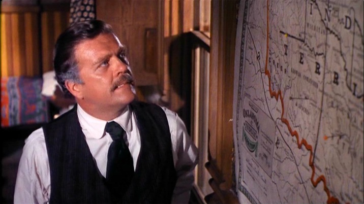 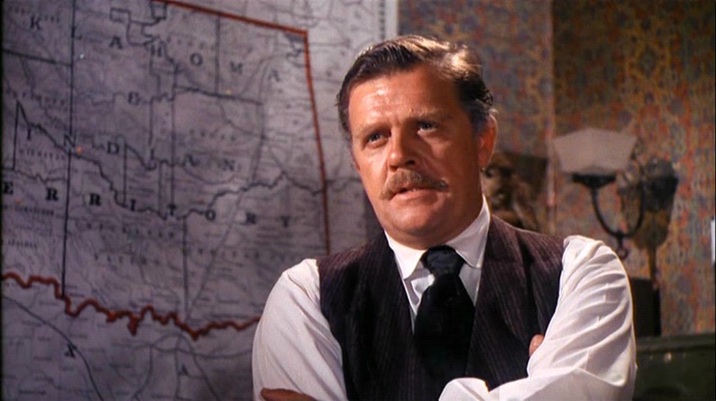 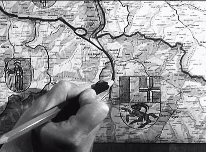 Maps provide familiar background décor in the police inspector's office and in the schoolroom: 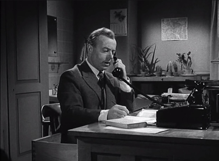 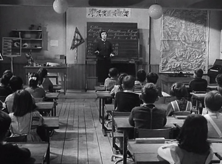 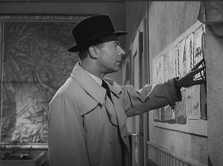 The inspector finds a clue in a child's drawing, where the ibex from the cantonal coat of arms of Graubünden is represented. On the map he works out where he will find the child-killer: 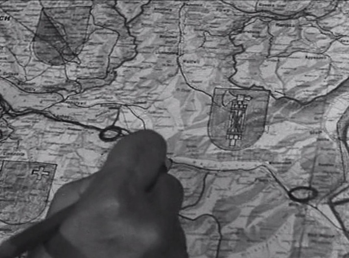 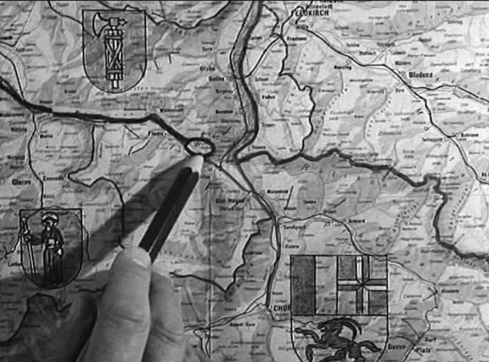  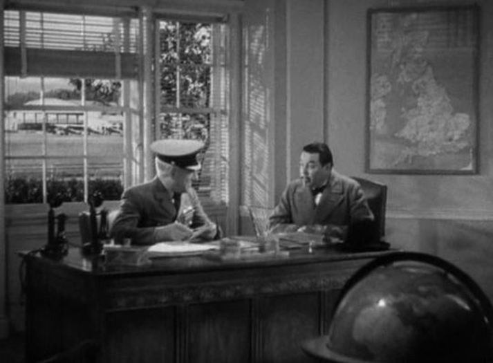 Very little other than the film's title situates Chan in London. (It is of course a Hollywood-made film.) Most of the action takes place in a country house in a fictional county ('Retfordshire'), and the few London scenes are all interiors, save for the view of the Houses of Parliament that serves as backdrop to the opening and closing credits, and an exterior view of a prison. A title tells us this is 'Pentonville Prison - London', and we also see fictional newspapers that bear the city's name ('The London Planet', 'London Daily Post', 'London Gazette'). Maps feature only once, in an office at a fictional airbase ('Farnwell'). The film is, effectively, 'Charlie Chan in England', with an accumulation of stereotypical signs (hunting, bobbies, class-inflected accents...) to ensure authenticity. A substantial assembly of authentic British actors (at least 16 of them, including Alan Mowbray, Mona Barrie and Ray Milland) also contributed to this impression. 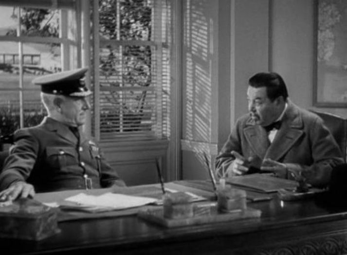 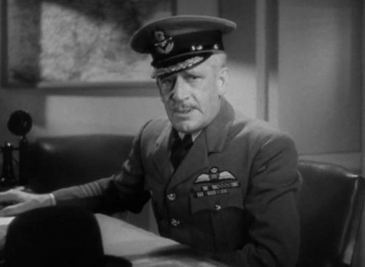  (The casting of Elsa Buchanan as the maid is discussed in a much later English country house film, Altman's Gosford Park.)
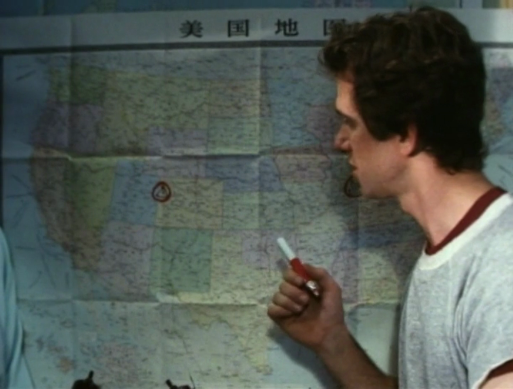
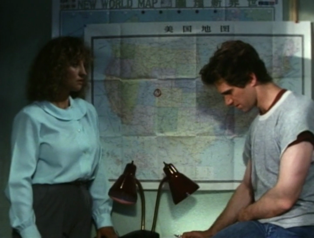
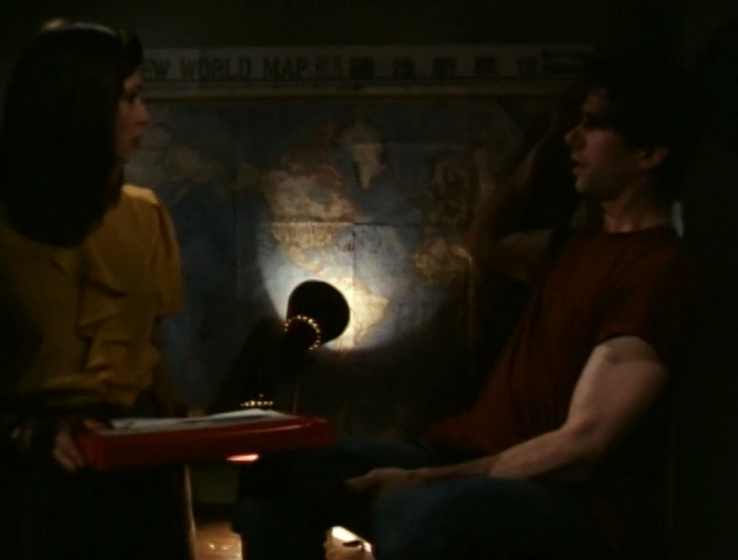
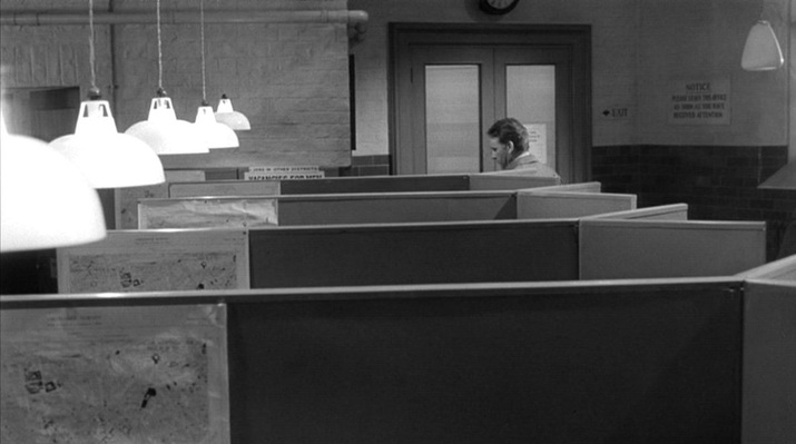 There are maps in only two places in this film. The first place is a Battersea Labour Exchange, where every one of the five cubicles we see has the same map of a section of London (the S.W. districts around Battersea). The maps are presented individually as Leamas (the protagonist) passes, then in a serried rank. 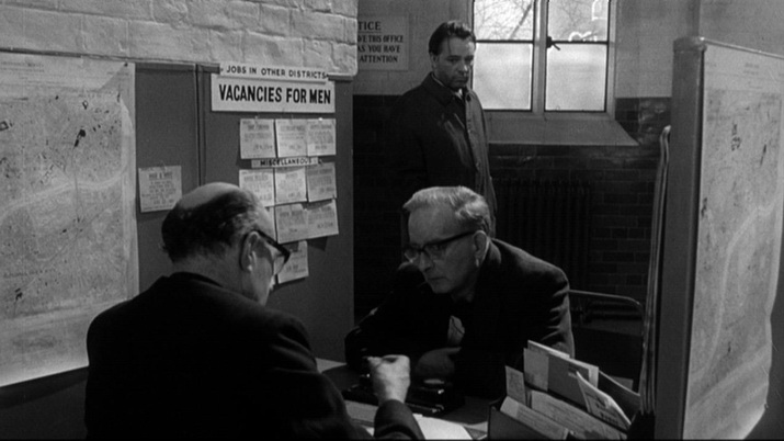 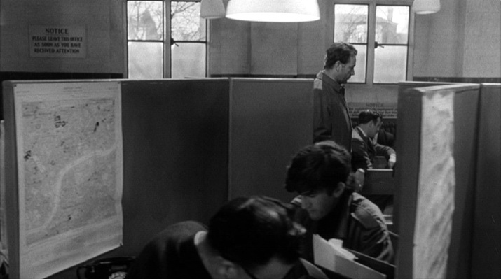 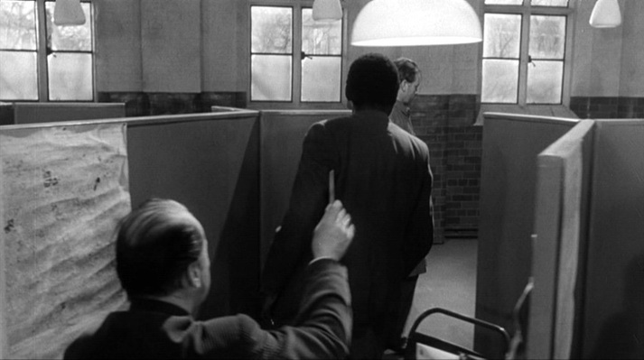 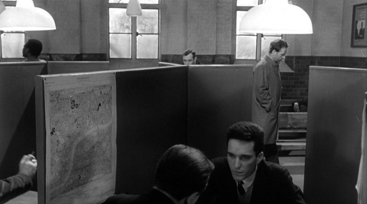  This is a uniform, regimented environment, but the cubicle to which Leamas is summoned has its map placed out of line (and the lamp above it is a little dimmer), hinting at the difference in the treatment he receives (he is sent to a job in a library as part of a convoluted plan hatched by the Secret Intelligence Service). The other place with maps is a room in East Germany where an in camera tribunal is being held: 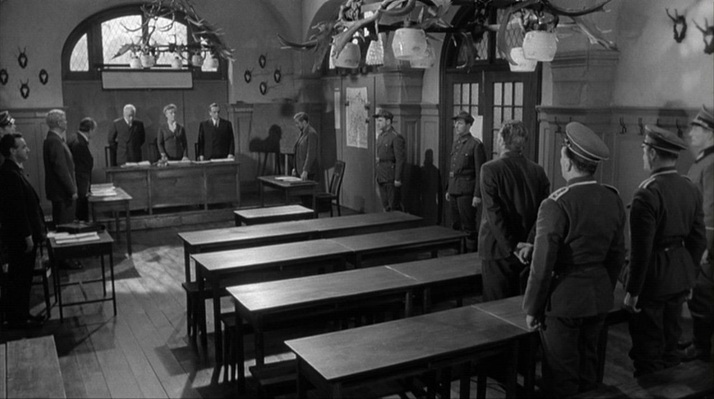 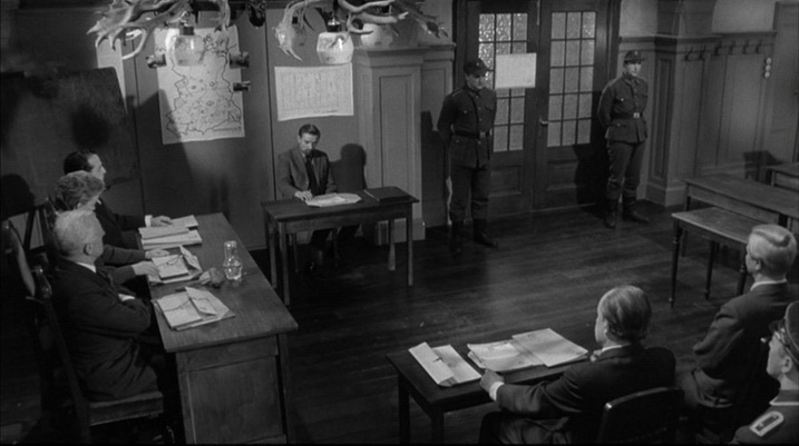 There are two maps in this room. One is of the DDR, and is very distinctive. It is drawn to demarcate specific but (to me) unfamiliar sectors of interest, and looks as if it should be in an operations room (pinned to it are photographs of motor cars, and it is inscribed 'Unternehmen 212', which I cannot gloss). It is also remarkable because it shows nothing of what is around East Germany, as if it were an island: 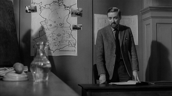 The second map is of a set of buildings, the camp to which Leamas has been brought. It is inscribed Mühlberg/Elbe, the location of the German prisoner of war camp Stalag IVB which - significantly for the film's thematic of shifting loyalties ('availability') - became a notorious Soviet internment camp immediately after WW2. 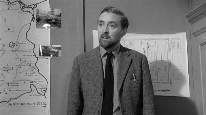 The mapping of the film's London locations poses certain problems. A sequence in which Leamas is trying to ensure he is not followed shows him in different parts of London: Fleet Street, South Kensington Station, Gloucester Road, and then his destination, the residential street we see here (as yet unidentified): 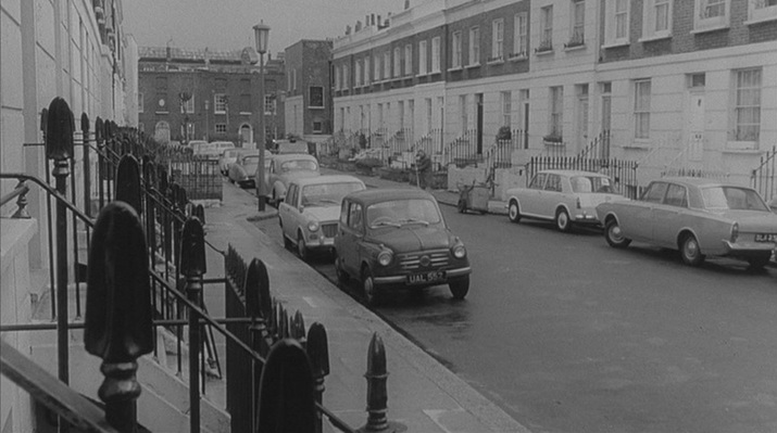 Leamas is here away from his usual territory around Battersea. His address is Falcon Road S.W.11, he meets a secret service contact in Battersea Park, and when he goes to the Labour Exchange, the official suggests a job at Battersea General Hospital, then sends him to an address nearby (Candahar Road). He points to the location on the map, but his fingers are the wrong side of the river entirely: 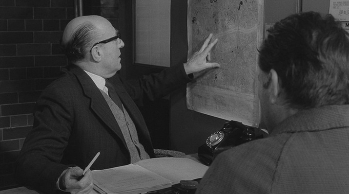 No one should be looking so closely as to to be troubled by this solecism. More troubling, anyway, would be the fact that the Labour Exchange itself is topographically compromised. It is supposed to be in Battersea; on the way there Leamas passes a tattered poster indicating as much: 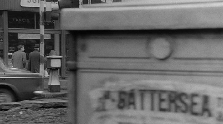 However, this exterior is not in S.W.11 but across the river in W.2. Here, from the Reel Streets site, is the evidence: 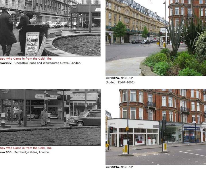 The film as a whole was always going to be topographically compromised, since the scenes set in the DDR would have to be filmed elsewhere (Ireland, in the event). So having one part of London pass for another is hardly serious.
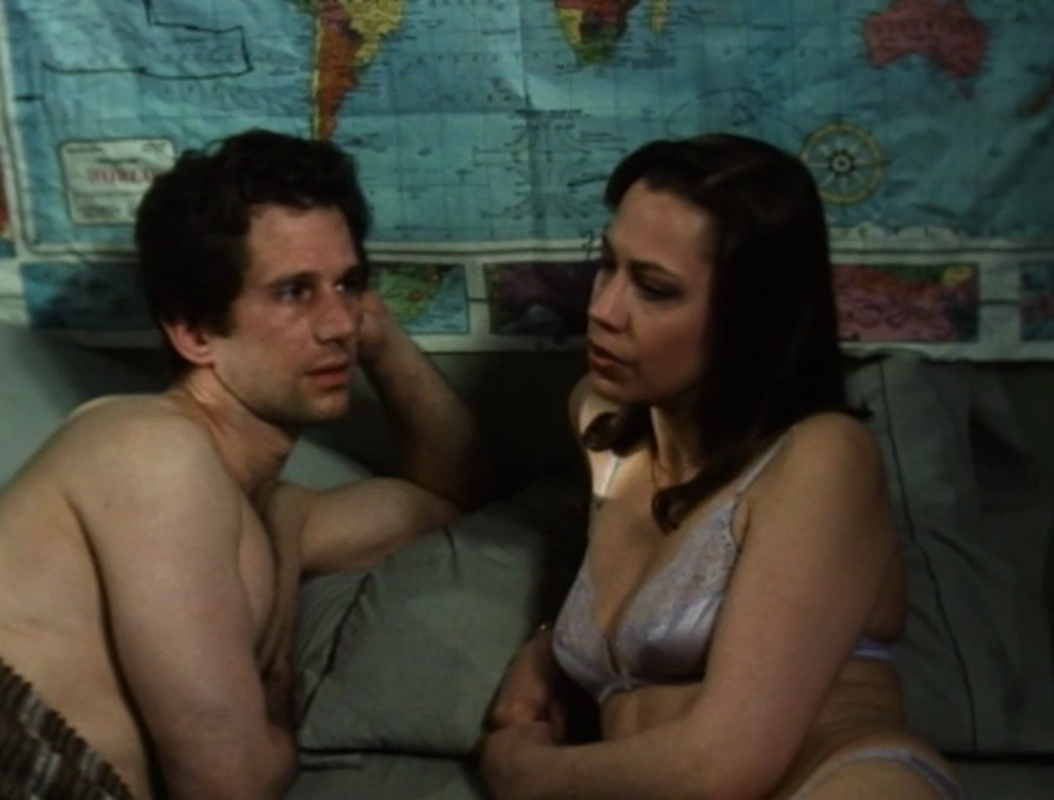
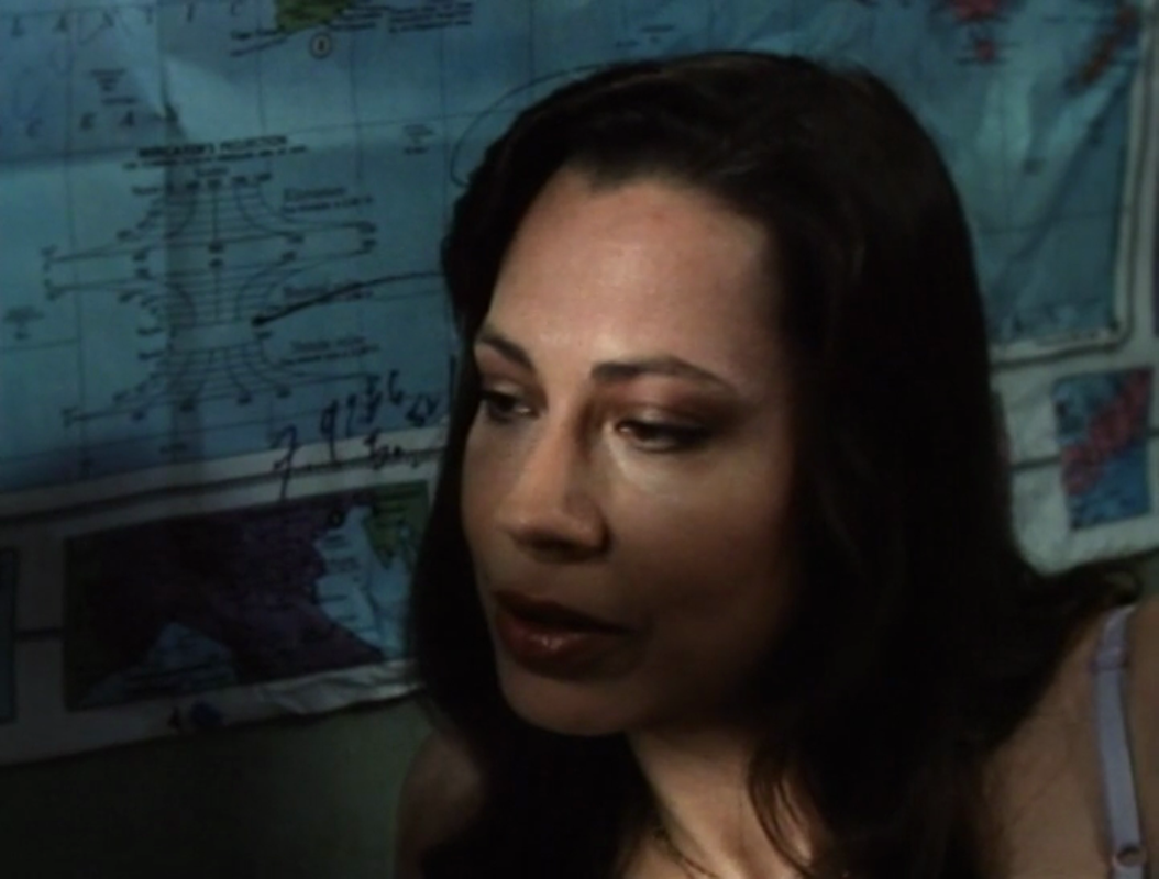
148/ Cross of Iron (Sam Peckinpah 1976): all the maps, & Breakthrough (Andrew V. McLagen 1979)2/9/2011  Unusually for a war film, the maps in Cross of Iron do very little to situate the action, and for a long time we only know vaguely where on the Eastern Front this German unit is (Compare with other war films here, here and here). The first map we see is being studied by Brandt (James Mason) as he muses in general terms about 'this damned country', adding that 'one of these days this land will swallow us up': 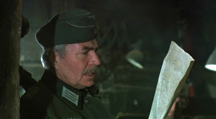 Later in the same scene, Captain Stransky (Maximilian Schell) is impressed at being offered a glass of German wine: 'a 1937 Moselle in the southernmost corner of Russia', which allows Brandt to brood again about where they are: 'A bottle of Moselle is no more out of place in this region than we are ourselves'. The film's topographical focus is largely this, that the Germans here are out of place. This room is littered with maps, none of which has legible detail: 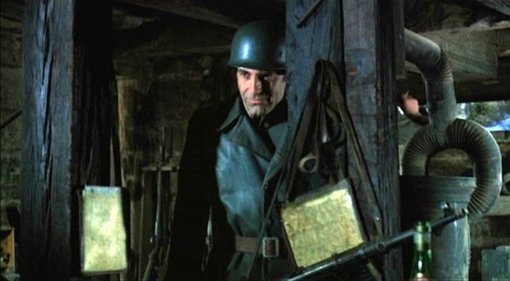 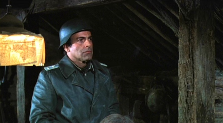 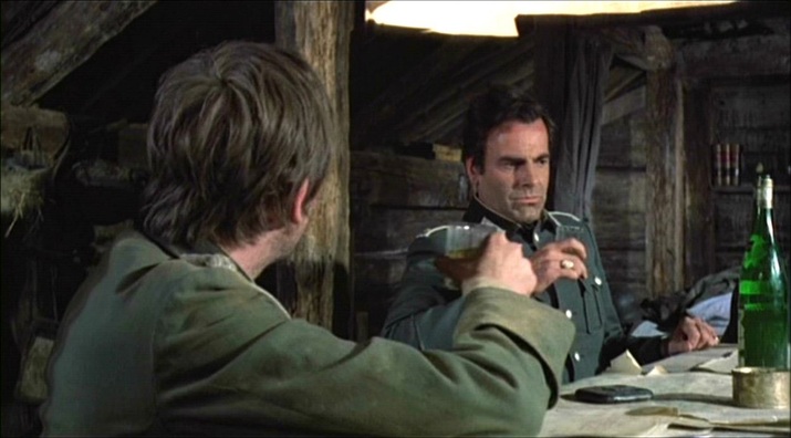 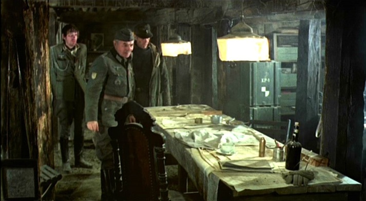 Much later, when Sergeant Steiner (James Coburn) is with his unit in 'no man's land', he consults a map but again we see nothing that identifies the exact locale: 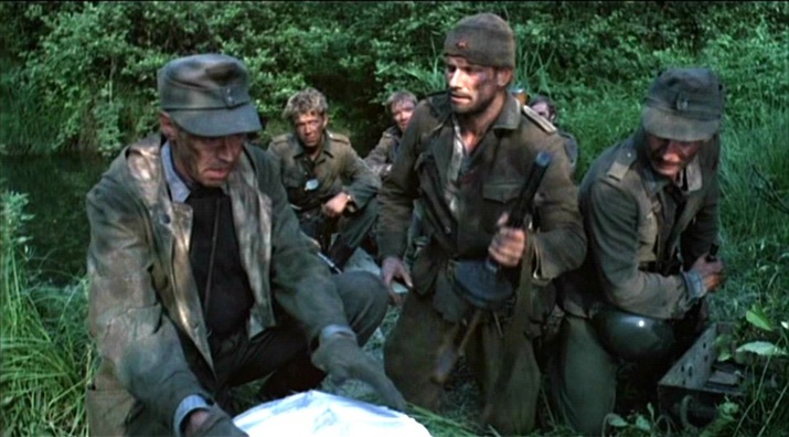 Eventually, the film offers the expected scene in which operations are indicated on a map, usually for the benefit of both characters and spectators. The map has legible detail, but only someone familiar with the 'Taman Offensive Operations' during the Battle of the Caucasus in 1943 would be able to situate the German unit we have been following. In fact this map is examined only for the benefit of the characters. A larger view of this map is not much more informative, nor are Brandt's world-weary comments as he points out the improvised train line on the map: 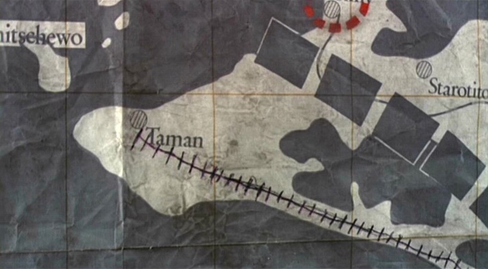 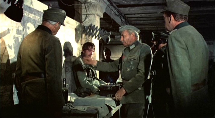 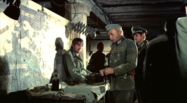 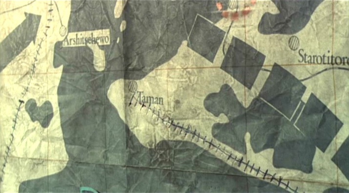 A last map in the film is being used by Russian women soldiers when they are attacked by Steiner's unit. Like the previous map, it has been modified in accordance with the immediate military situation. What we can see of the map are only these modifications: 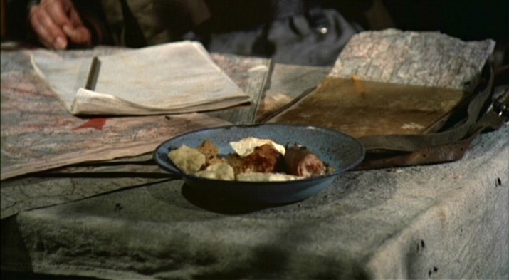 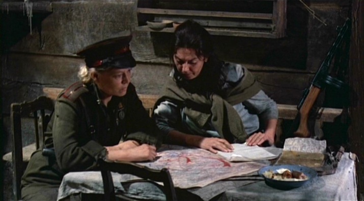 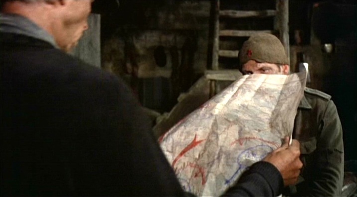 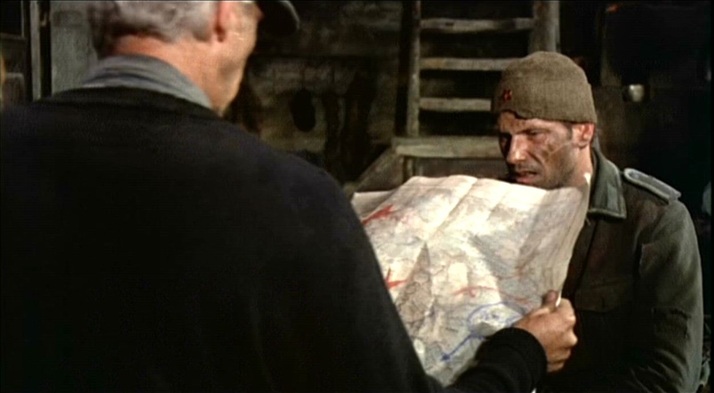 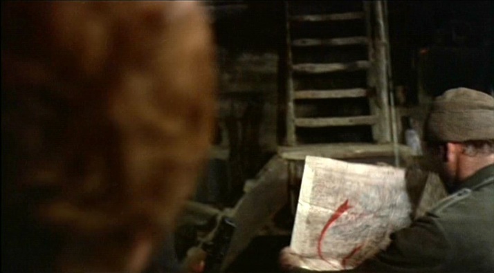 Cross of Iron is admired - especially by enthusiasts of militaria and weaponry - for its accuracy of detail, and more broadly for its realism. The use of maps as décor is a conventional realism, but the lack of a discursive topographical frame, leaving the spectators in greater than usual confusion as to where they are, is a refinement of realism. Andrew V. McLagen's 1979 sequel to Cross of Iron is much more conventional in its presentation of maps, especially when its action shifts from the Eastern to the Western Front. It also has a voice over giving an historical overview of the action presented, alleviating spectator confusion. (Breakthrough is not generally admired for its realism, nor for its accuracy of detail.)  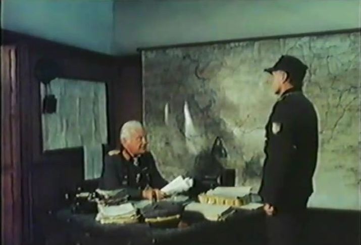 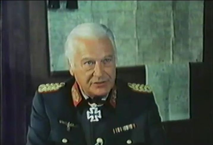 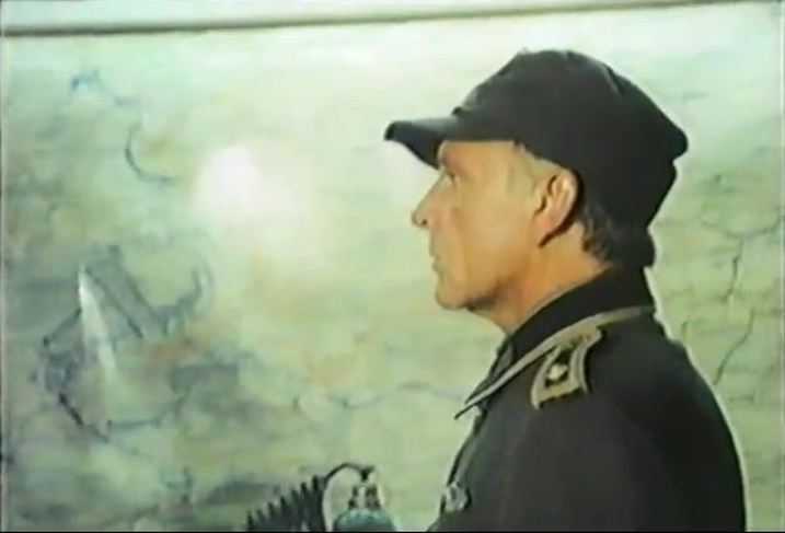 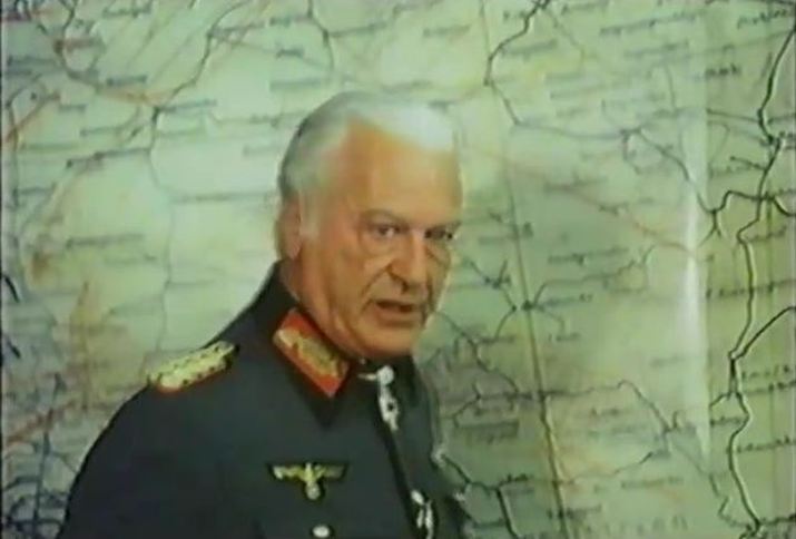  Through characters called Jeanne Moreau, Jean Seberg and Stéphane Audran, posters of Belmondo and Delon, and the re-enactment of iconic scenes such as the death of Michel in A bout de souffle, Unmade Beds realises its protagonist's cinephilic fantasies, transposing the French New Wave c. 1959 to 1976 New York. One shot shows us the imagined territory on a map, panning down from a postcard of the Eiffel Tower through to Paris, identified as a place in time. The shot continues down the map towards Italy, as if realising Michel's own fantasy of escaping from Paris with Patricia, at the end of A bout de souffle. 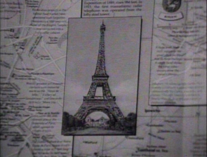 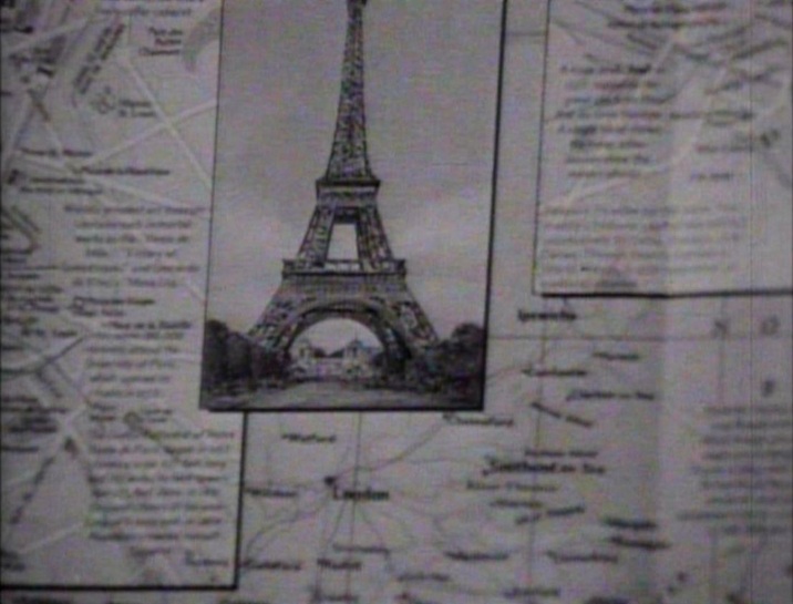 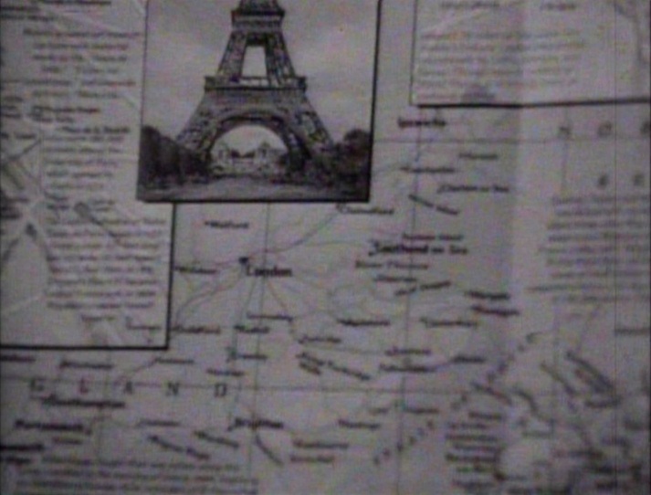 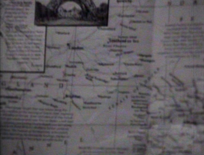    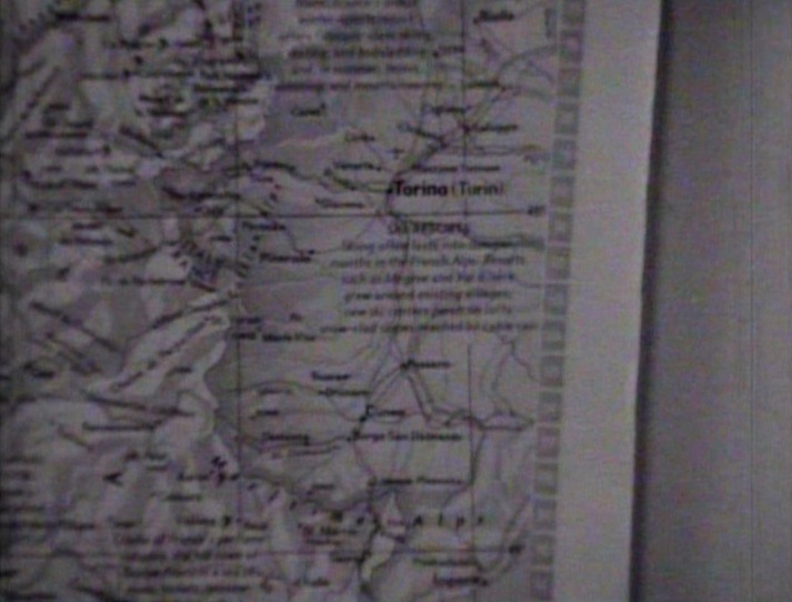 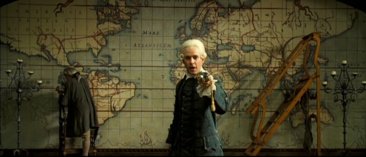 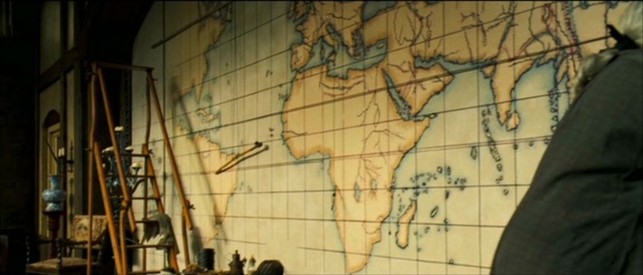   Heike Steinhoff, Queer Buccaneers: (De)Constructing Boundaries in the Pirates of the Caribbean Film Series (Berlin: Lit Verlag, 2011), p.116. 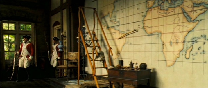 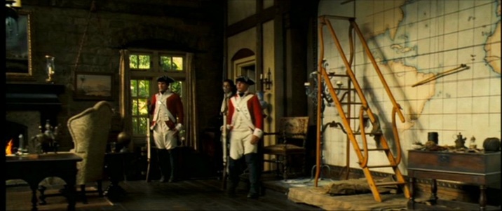 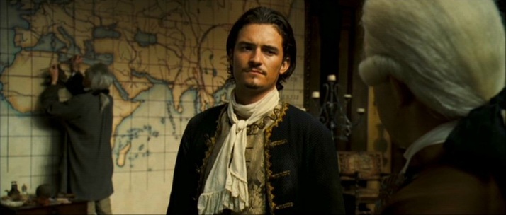 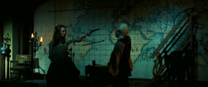 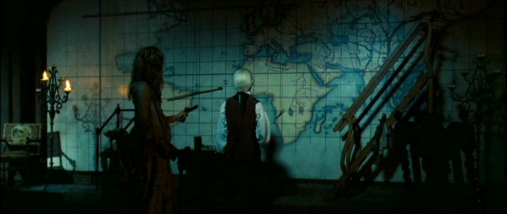 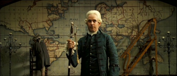 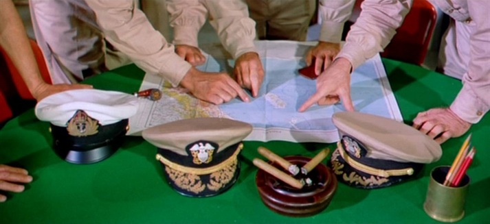 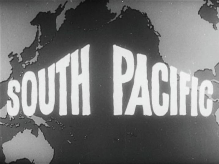 The map above, from the credits of a contemporary newsreel about the making of the film, allows for several possibilities as to the film's specific Pacific location. The Hawaiian island Kaua'i (hidden by the letter 'P') provided most of the exteriors for South Pacific, and is now a prime site of cine-tourism, with guided visits available to the shoot's locations. The narrative is set further West and South, with the maps in the film's principal map room pointing us to the Solomon Islands and Vanuatu (just below the letter 'T' in 'South'): 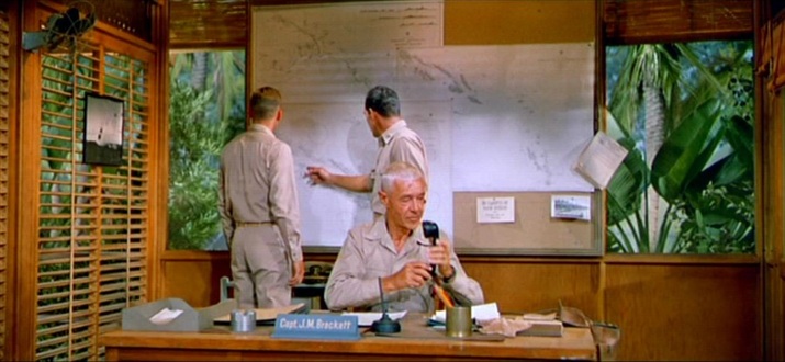 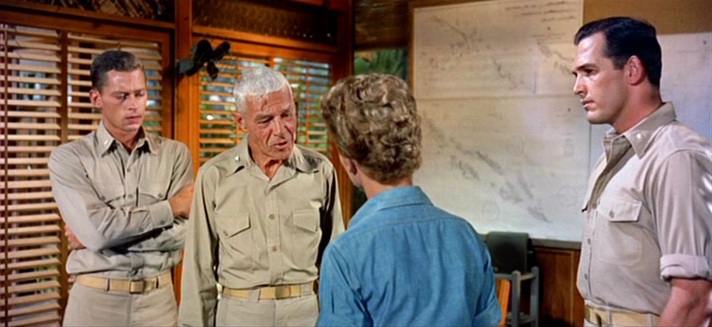 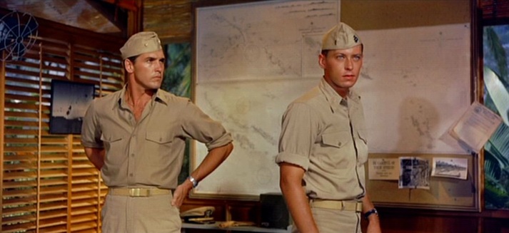 When the action builds towards a climax involving one specific island, a map of it is scrutinised: 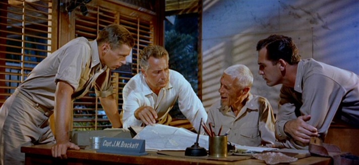 A later scene shows the same map being looked at even more closely. Looking at it closely myself, I'd say this is the island called Pulau Siberut, off the west coast of Sumatra, opposite Padang. That would make no sense topographically, but at this point in the film the relevant detail is that it is an island, simply:  The action of various parties is shown as coordinated through their reference to related maps: 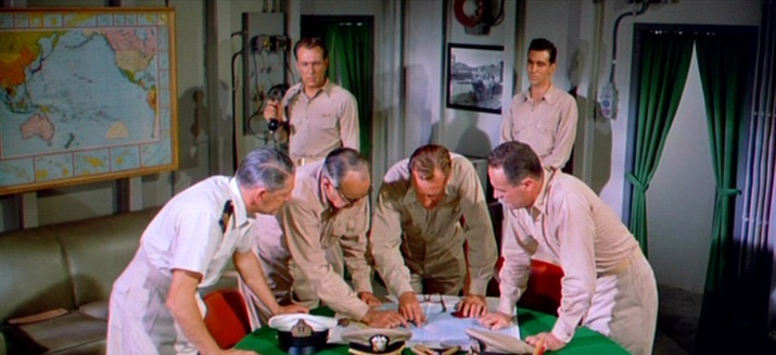 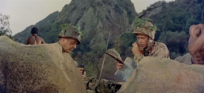 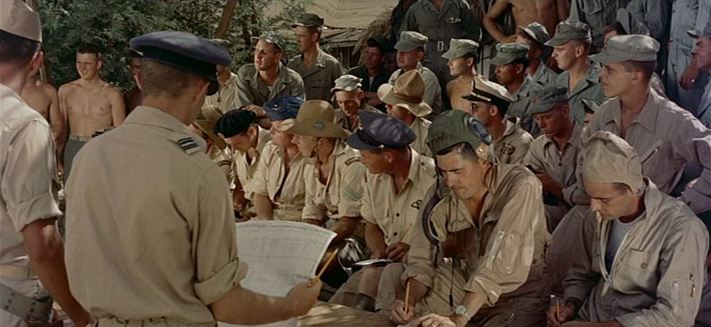 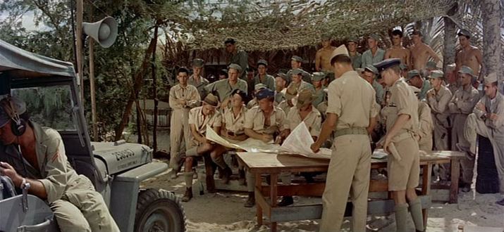 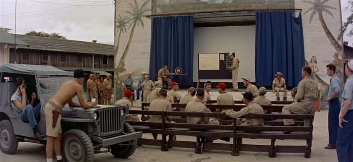 There is one more map in the film, an element in the décor of the Thanksgiving Show put on for the entertainment of servicemen: 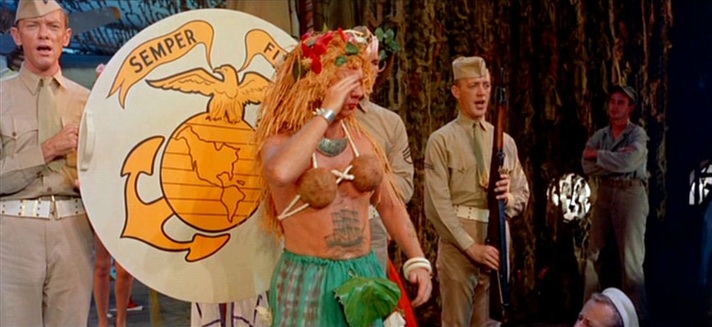 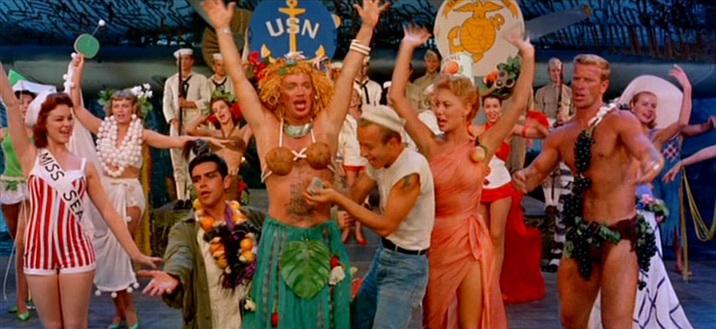 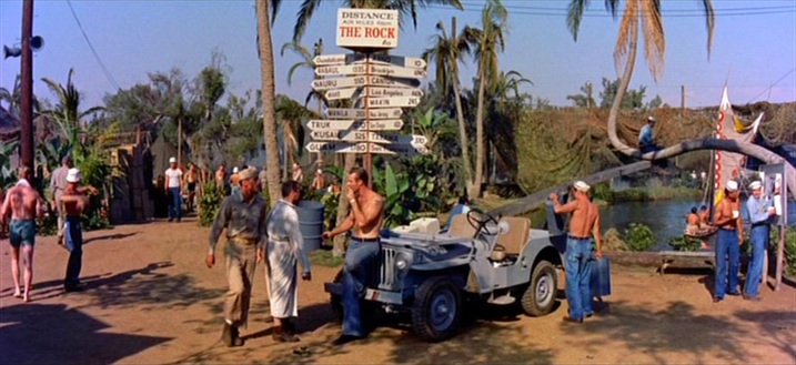 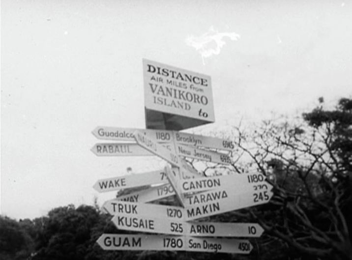 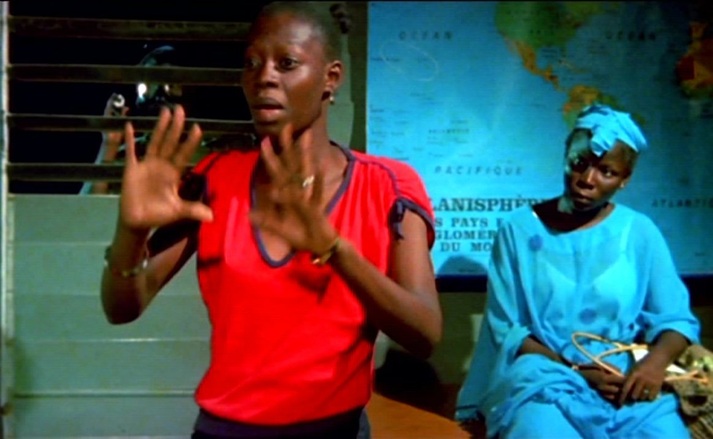 There are two map rooms in Finye. The first, where the student protesters are printing clandestine tracts, has a world map, a map of Europe and another too indistinct to be made out. The world map is the dominant, signifying the students' openness to the world beyond Mali, and framed from different angles to emphasise the variety of perspectives that such openness entails. 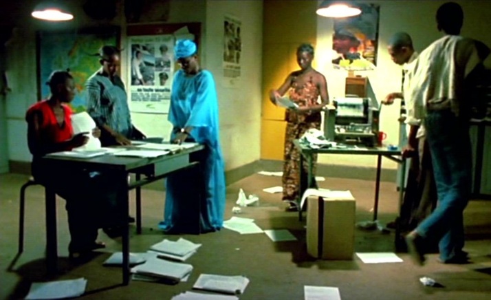 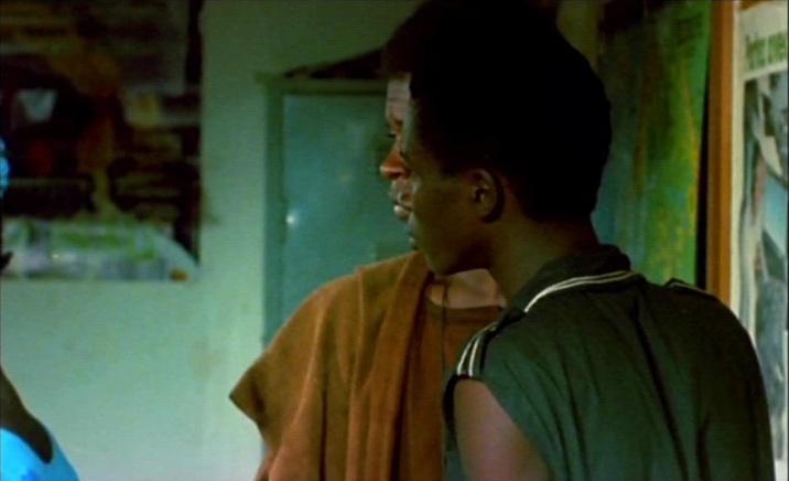 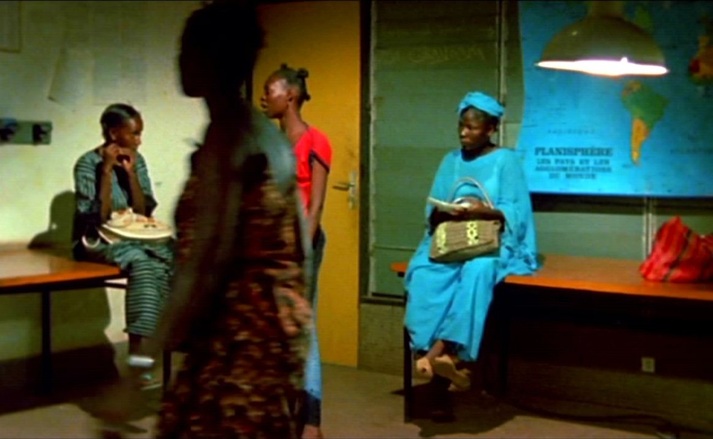 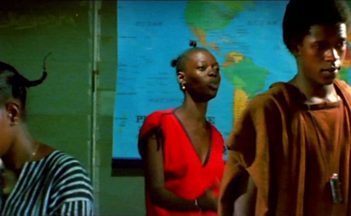 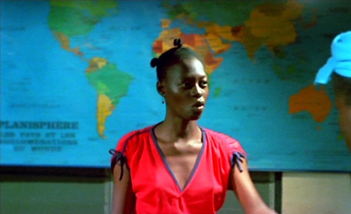 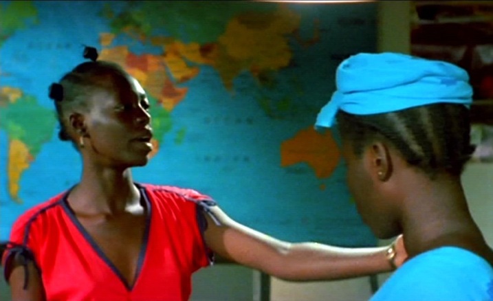 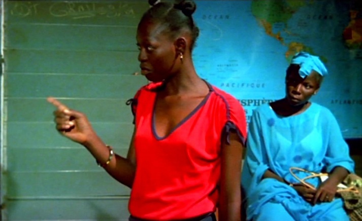 The second, the military governor's office, is dominated by a map of Mali, represented as isolated not only from the world but even from its immediate neighbours, removed from its African context. Within its borders, the country has rivers, a lake, varied terrain and differentiated regions, but beyond its borders there is nothing: 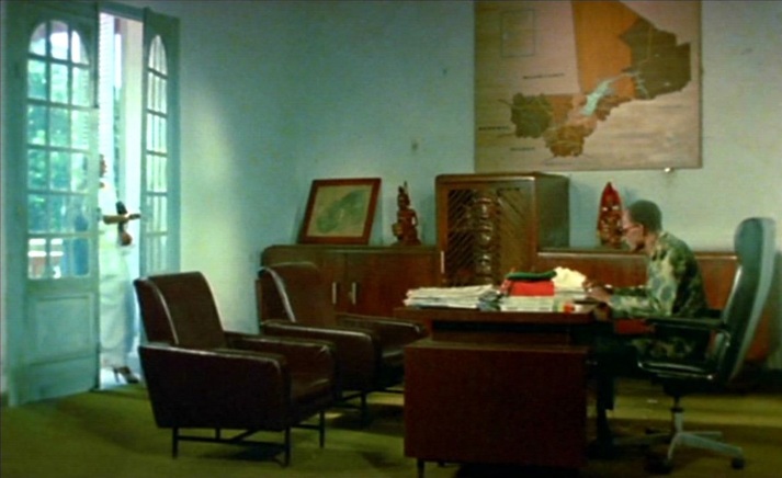 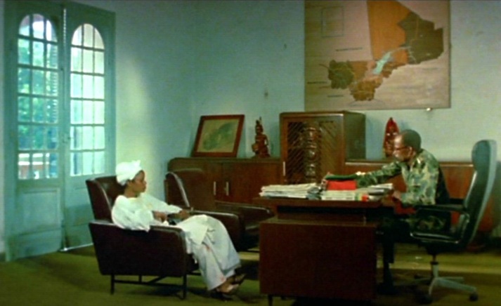 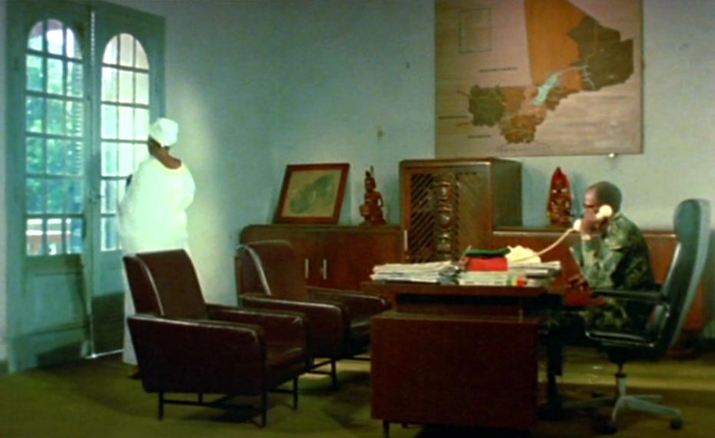 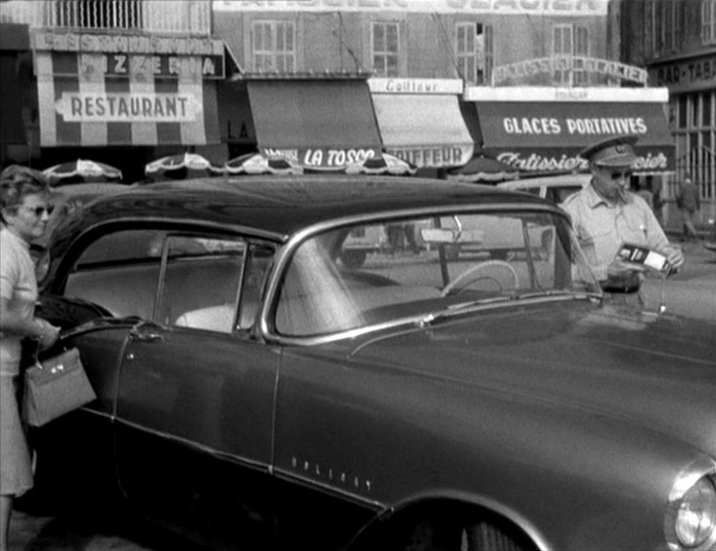 The map of the film can be very exactly drawn, from its opening in Marseille, through Michel’s journey up to Paris and his movements in and around the city, to the film’s close at the junction of the rue Campagne Première and the boulevard Raspail. 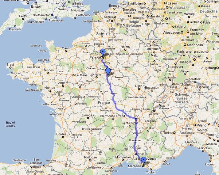 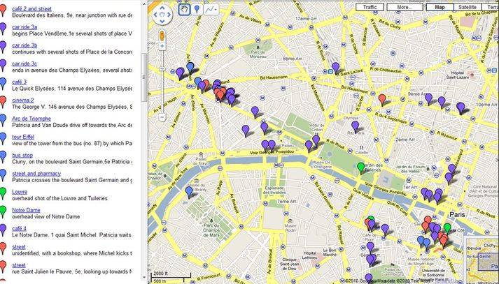 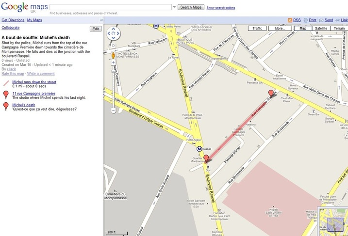 The maps in the film are incidental, of interest only to the collector. The first is in the hand of the American officer whose Oldsmobile 88 Michel will steal (see the IMCDB here for more detail on the cars in A bout de souffle). The officer’s wife has in her hand a camera: it's a rare pleasure to find a film with map and camera in the same frame (see here the four other cameras in A bout de souffle). 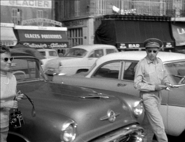 There are several maps in the travel agency on the Champs Elysées where Michel goes to find Tolmatchoff, all adjuncts of the film’s preoccupation with the world beyond France: 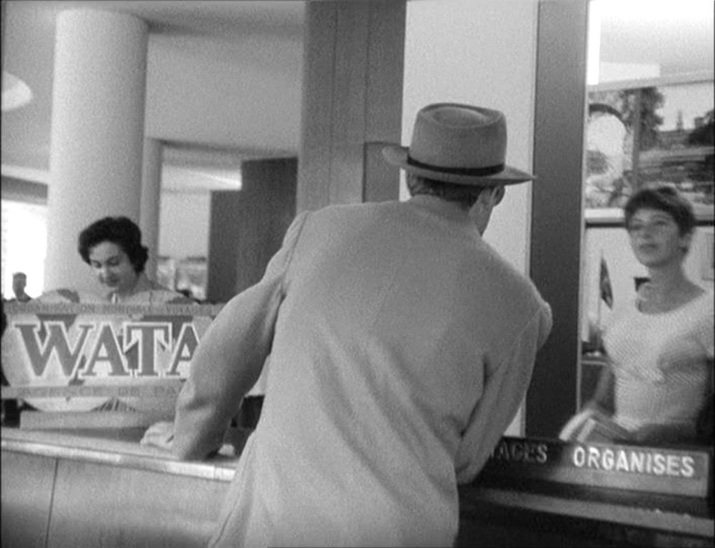 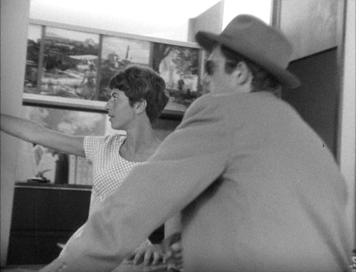 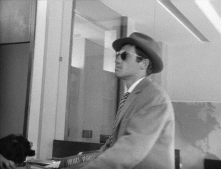 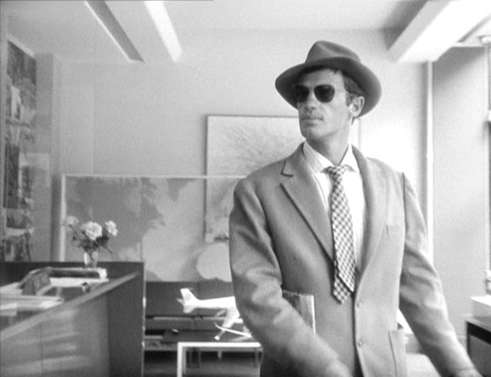 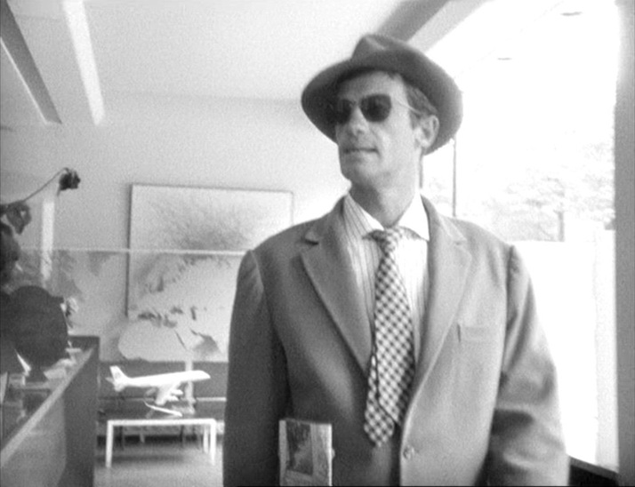 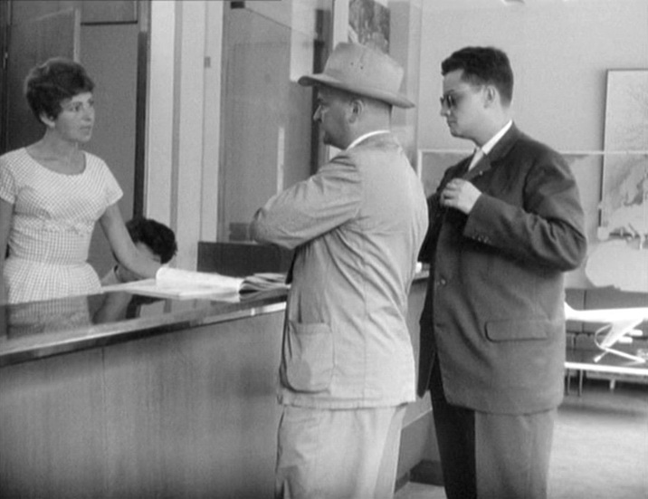 The last map is in the film's last interior, the apartment on the rue Campagne Première where Michel and Patricia spend the night. The décor of the bedroom includes a blow up of an antique ‘perspective’ map of Paris: 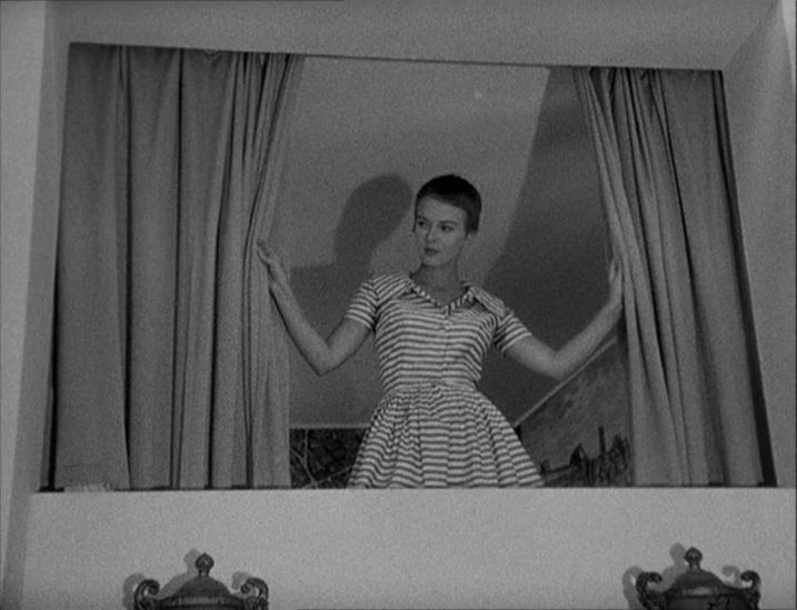 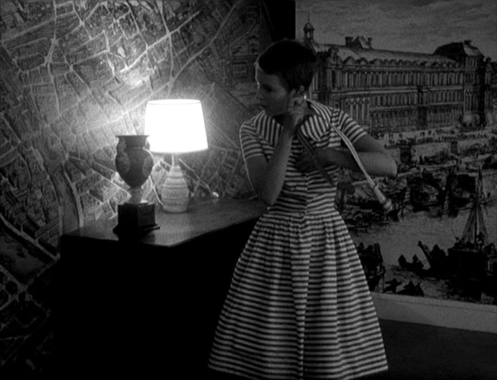 This seems to have been a fashion. A similar décor occurs in another Belmondo film from the same year: 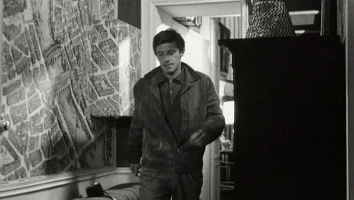 Les Distractions (Jacques Dupont 1960)  The third in the Harry Palmer series is still deriving material out of its difference from Bond. The map of London on the wall of Palmer's dingy office contrasts with the world maps on walls in early scenes of Bond films. Now a private detective, Palmer's sphere of activity is local, not global. 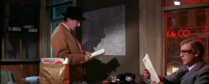 When Palmer does travel, he faces the un-Bondlike challenge of finding on a map an address in a phone book. 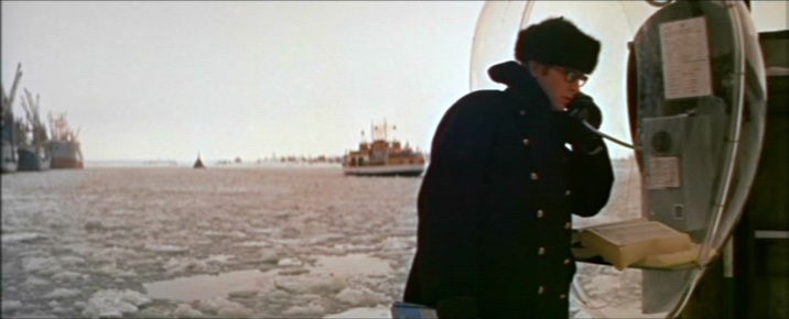 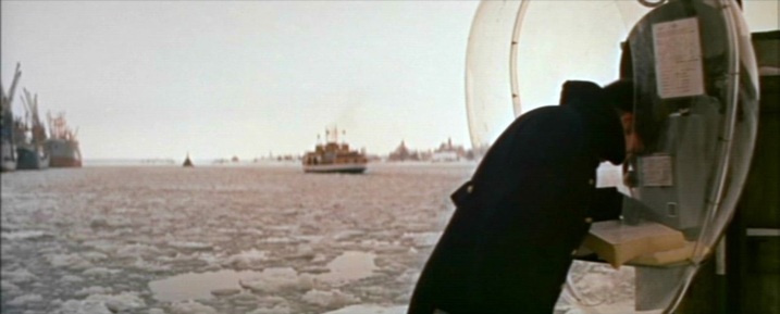 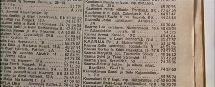 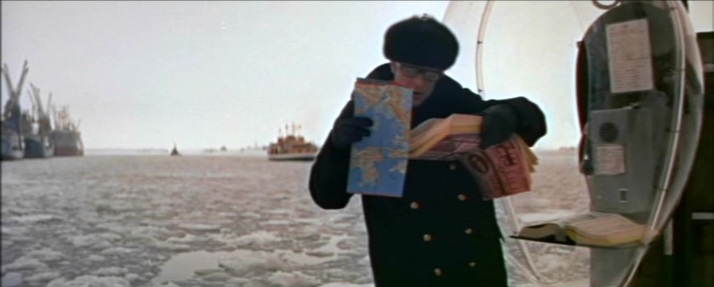 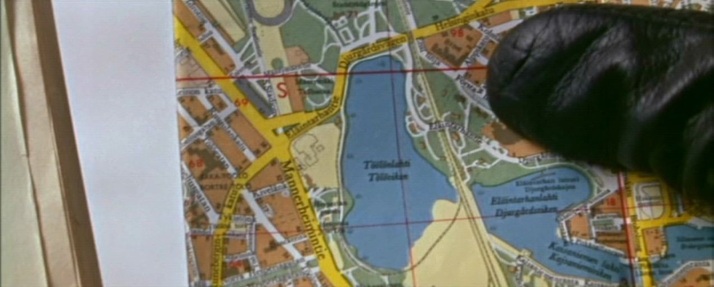 Ou maps pull back from this exactly pinpointed address in Helsinki to a more general view of the Baltic region, and even when - in Ed Begley's centre of operations - we have the familiar world map that signifies megalomania, the Baltic region is marked by a concentration of lights. 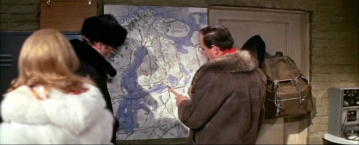 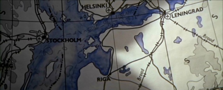 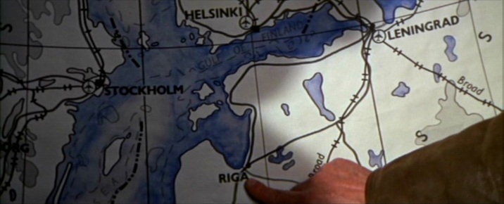 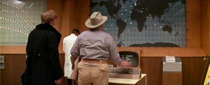 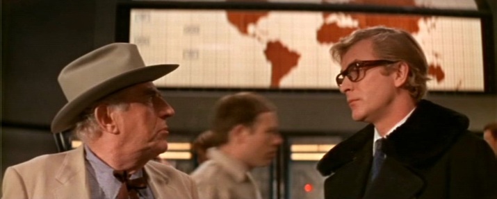 In a further contrast with the Bond corpus, Syd Cain's operations rooms in Billion Dollar Brain are deliberately modest affairs compared with, for instance, the spaces created by Ken Adam for that year's Bond film (even if that is clearly the same map on the wall, above and below - both scenes were shot at Pinewood) : 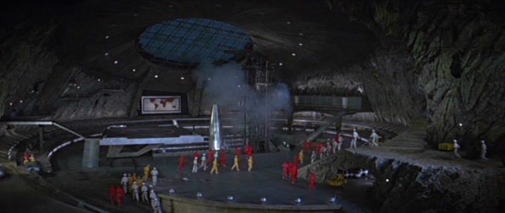 You Only Live Twice (Lewis Gilbert 1967) 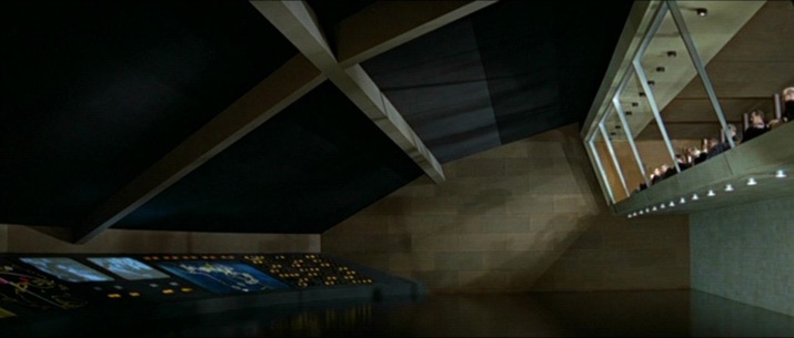 You Only Live Twice (Lewis Gilbert 1967) For its climax Billion Dollar Brain shows opposing forces plotting the final confrontation, each on their own maps: 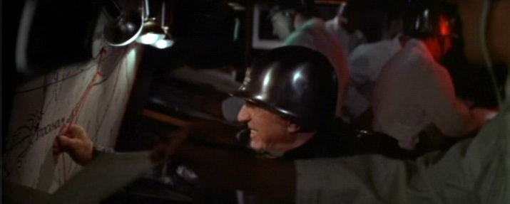 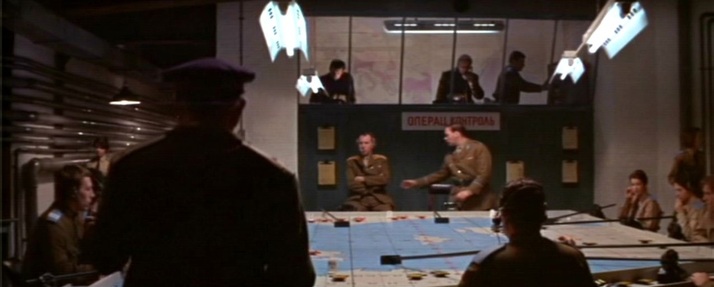 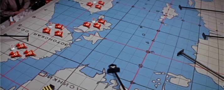 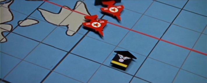 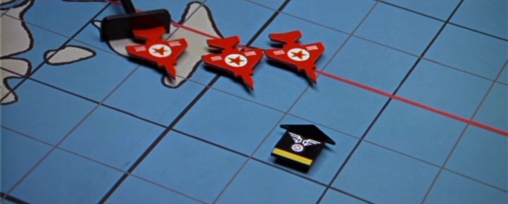 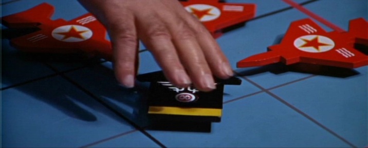 These last two map scenes both show humans attempting to arrange the world my arranging things on maps. This is the complement of the film's nature motif (as in the Alexander Nevsky-like climax on the ice). Human endeavour vs untamable nature is an opposition neatly foregrounded in this dissolve from the penultimate to the last sequence: 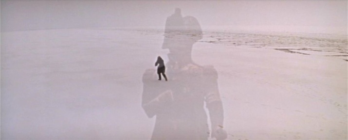 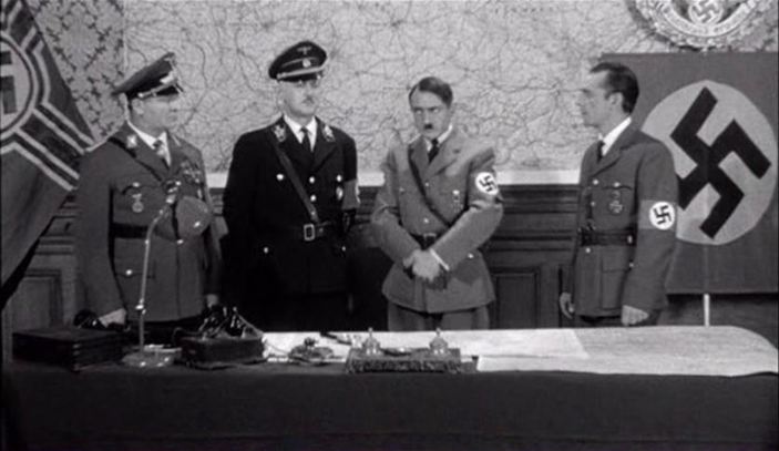 To bring to a close the theme of the last few days, this is a selection of more Nazis with maps. 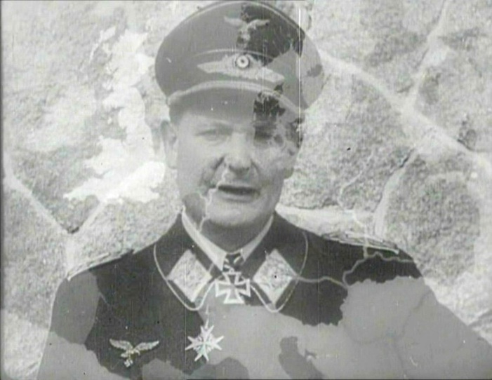 The First of the Few (Leslie Howard 1942) 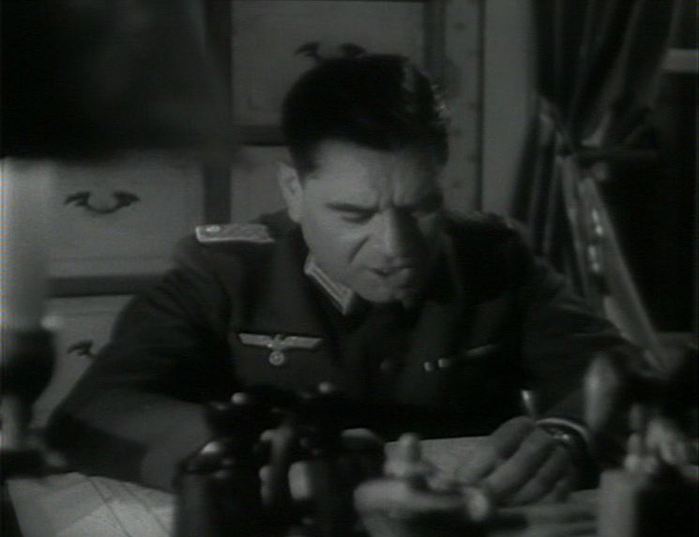 Jericho (Henri Calef 1945) 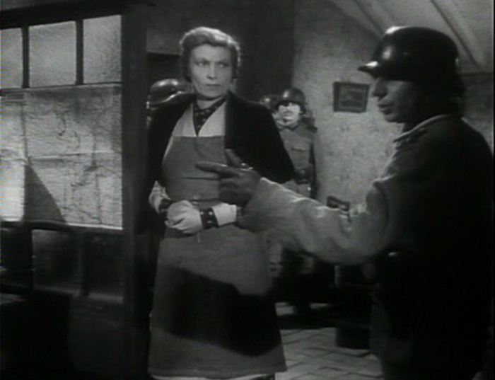 Jericho (Henri Calef 1945) 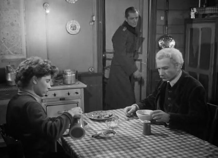 Le Silence de la mer (Jean-Pierre Melville 1949) 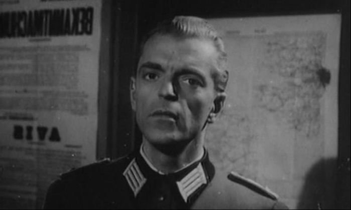 L'Inconnu de Shandigor (J-L Roy 1967): Le Silence de la mer is used to show Howard Vernon's character as a younger man 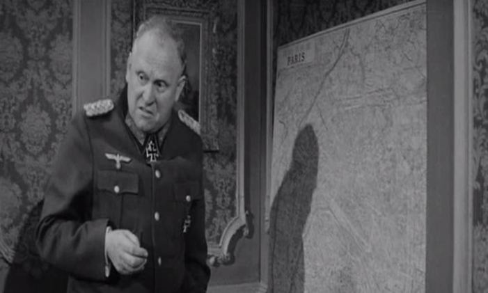 Is Paris Burning? (René Clément 1966) 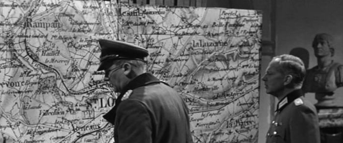 The Longest Day (Ken Annakin et al. 1962) 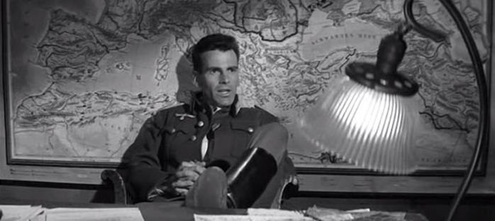 The Young Lions (Edward Dmytryk 1958) 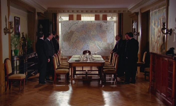 M. Klein (Joseph Losey 1976) 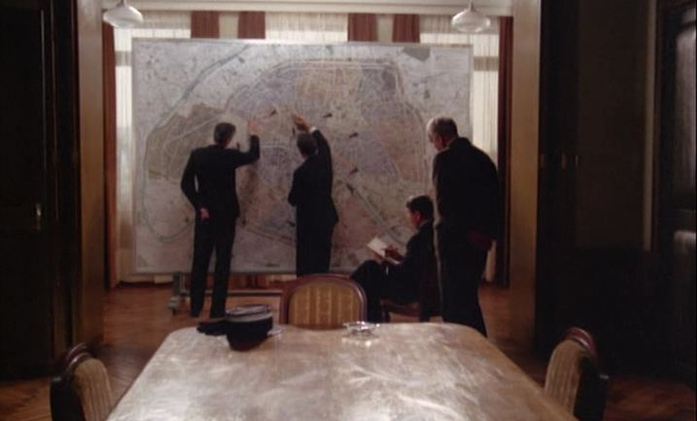 M. Klein (Joseph Losey 1976) 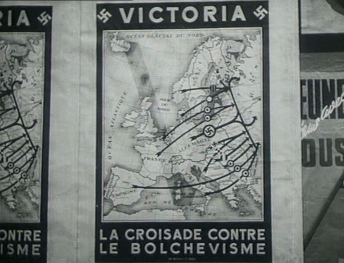 Les Miracles n’ont lieu qu’une fois (Yves Allegret 1951) 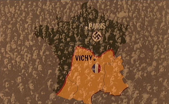 Le Dernier Métro (François Truffaut 1980)  A film about a line drawn on a map, continuing the 'Nazis with maps' theme of the last few days. All of the maps are in the one room. 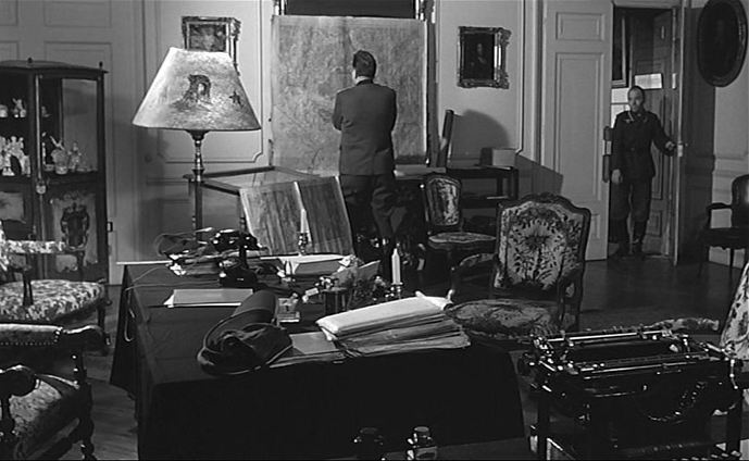 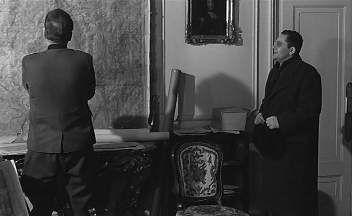 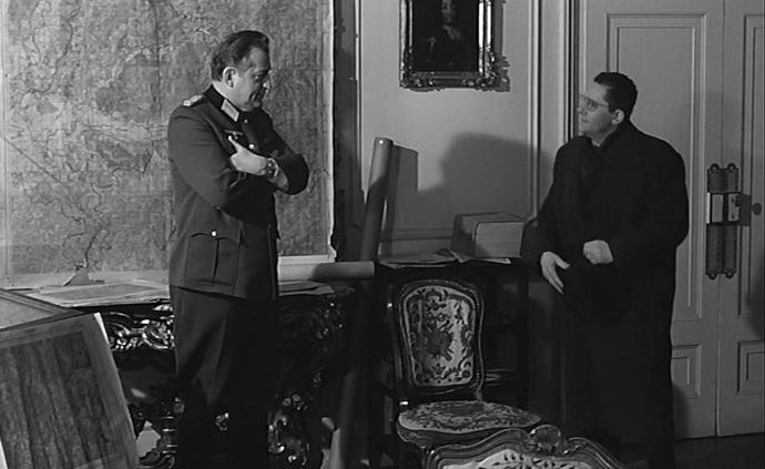 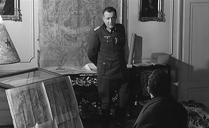 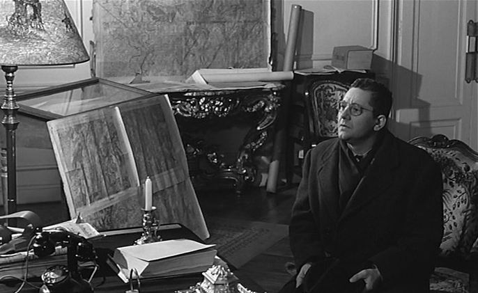 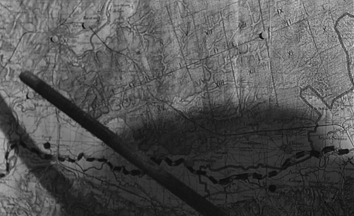 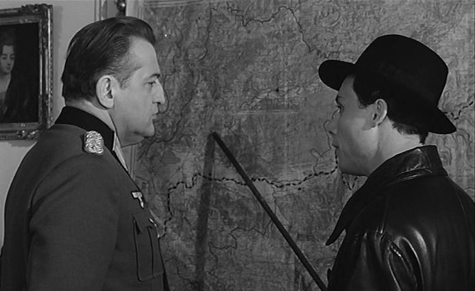 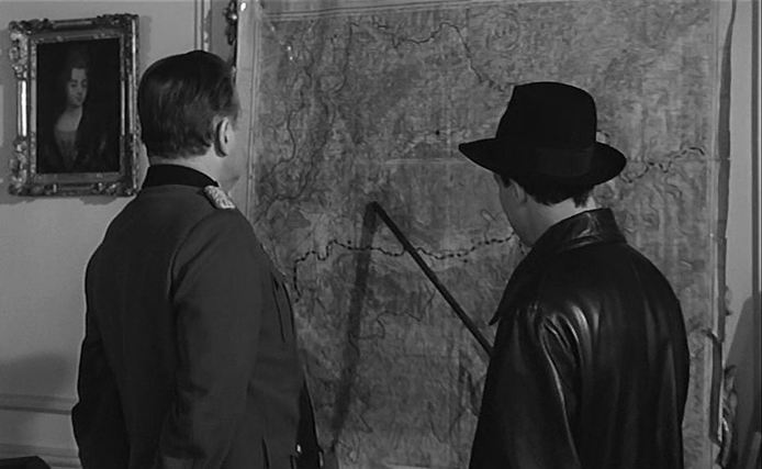 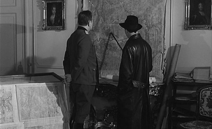 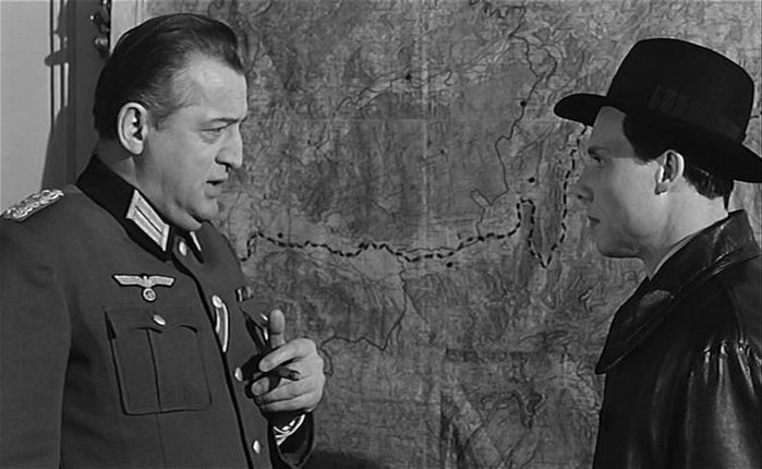 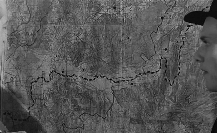 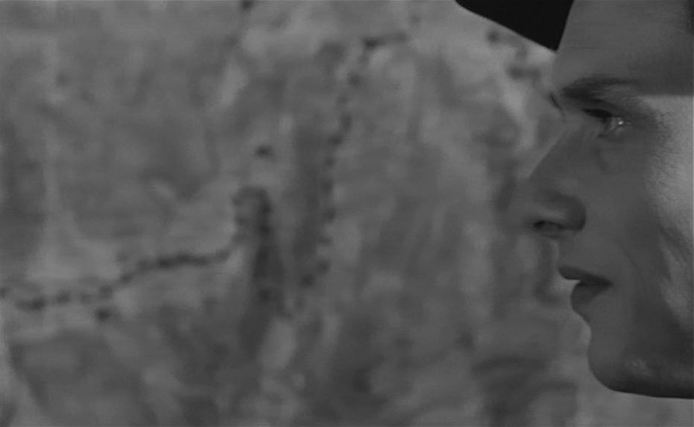 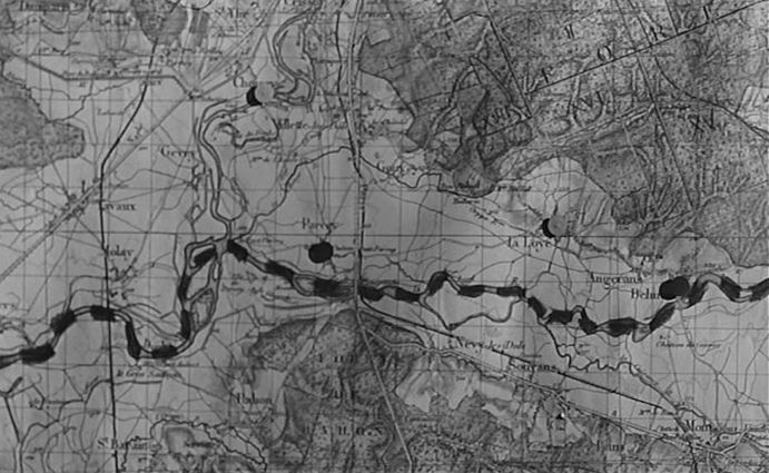 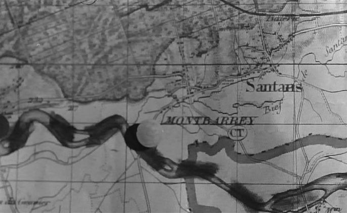 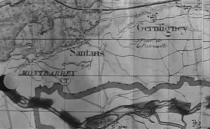 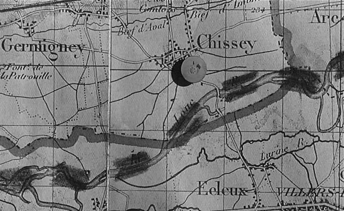 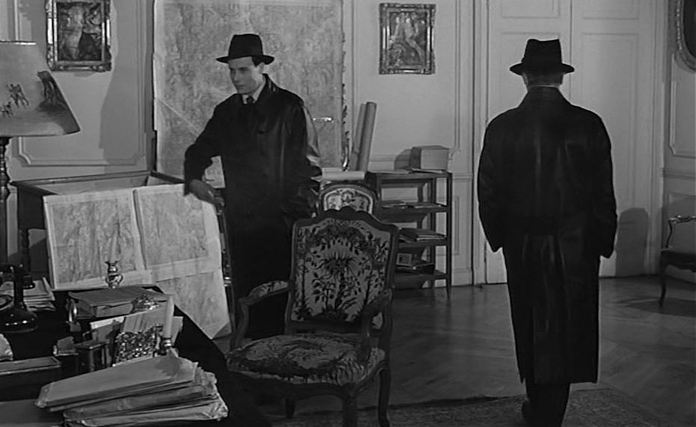 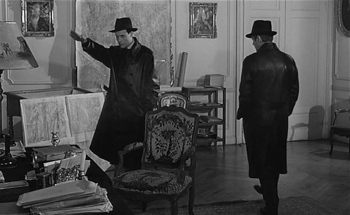 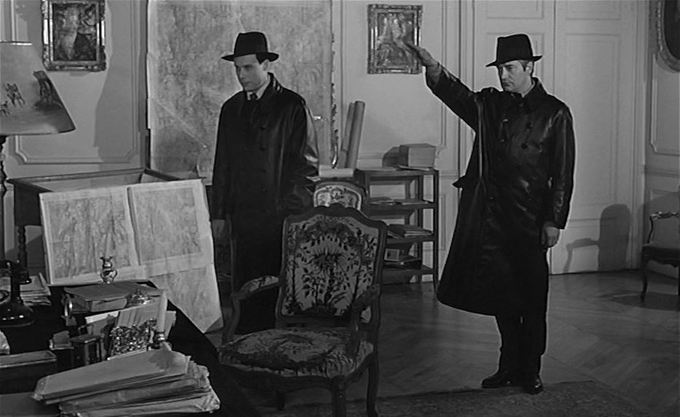 106/ Seven Days Till Noon (Roy Boulting 1950) & The Wrong Arm of the Law (Cliff Owen 1963)22/7/2011 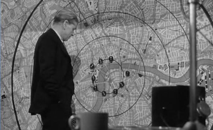 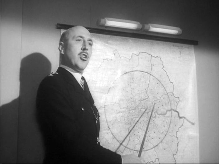 An occasional series posting two maps from different films, for comparison without commentary.
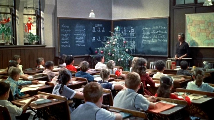 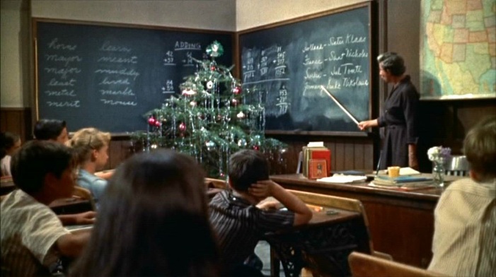 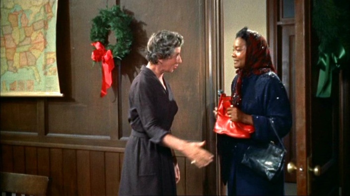 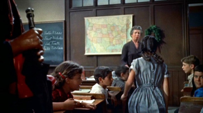 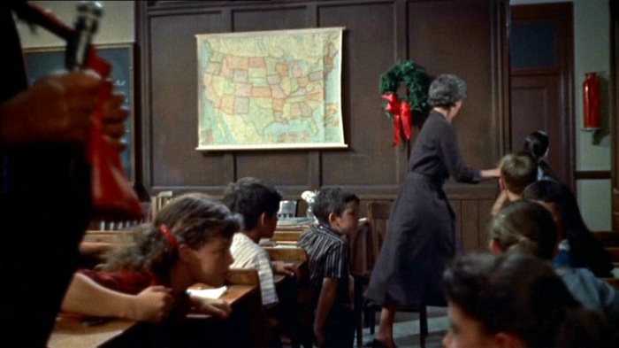 The schoolroom is the one map scene in Imitation of Life. The arrival of Annie (Juanita Moore) reveals to the class her daughter's blackness, causing her to run from the room, the first of several such flights around which the mother-daughter story is organised. The lesson is about difference on an international scale (what Santa Claus is called in different countries), but the map of the United States is an invitation to read the personal melodrama in national terms. For a full-scale reading of Imitation of Life in such terms, see Ryan DeRosa, 'Black Passing and White Pluralism: Imitation of Life in the Civil Rights Struggle', in Deborah Barker & Kathryn McKee (eds), American Cinema and the Southern Imaginary (Athens GA: University of Georgia Press, 2011), pp. 151-78.  |